
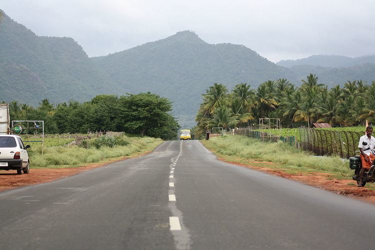
Length 342 km | ||
 | ||
Primarydestinations: Pirmed, Theni, Cumbum, Kumily, Kanjirapally, Kottarakara, Changanassery, Tiruvalla, Chengannur, Adoor, Kottayam, Uthamapalayam, Nadu Highway system Indian National Highway System | ||
National Highways 183 (NH 183) is located in India. It connects Kollam in Kerala with Dindigul in Tamil Nadu. Starting from NH 66 in Kollam(Quilon) – The Cashew Capital of the World, it runs northwards and turns east at Kottayam and runs along the northern border of Periyar Wildlife Sanctuary before crossing the border into Tamil Nadu and end near Dindigul, where it joins NH 83(Coimbatore - Nagapattinam). This highway was previously known as NH 220.
Contents
Map of NH183
Kerala
Kottarakara, Thiruvalla, Adoor, Chengannur, Changanassery, Kottayam, Kanjirapalli, Kumily, Theni.
Tamil Nadu
Gudalur, Kambam, Uthamapalayam, Chinnamanur, Virapandi, Theni, Periyakulam, Batlagundu, Devadanapatti and Dindigul.
National Highway 183A
A new highway National Highway 183A (India) was declared in March 2014 which runs from Bharanikavu to Vandiperiyar via Adoor - Anandapally – Thatta – Kaipattoor – Omalloor – Pathanamthitta – Mylapra – Mannarakulanji – Kumplampoika – Vadasserikkara – Perunad – Lahai – Plappally - Gavi - Vandiperiyar. This highway is a shorter route to Vandiperiyar from Adoor via, Kaipattoor, Pathanamthitta rather than the long route via Kottayam.