
Area 3,387 km² | Time zone PST (UTC+5) | |
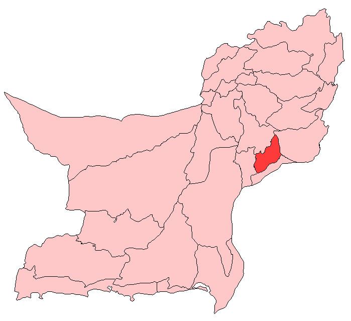 | ||
Nasirabad (Urdu and Balochi: نصیر آباد) is a district in the centre-west of Balochistan, Pakistan. Nasirabad's headquarters are at Dera Murad Jamali.
Contents
Map of Nasirabad, Pakistan
The original name of the district was Temple Dera, named after Captain H. M. Temple, a career British civil servant, who served as the Political Agent for Sibi from 1891 to 1892. Among the local population it is still known as 'Tipul', a corruption of the word 'temple'.
Formerly part of Kalat District, Nasirabad was granted the status of a separate district in 1974, while in 1987 the new district of Jaffarabad was cleaved out of it. For three years, from July 1987 to December 1990, it was known as Tamboo district. Tamboo is a small village 40 km west of Dera Murad Jamali.
Administrative divisions
The district is administratively subdivided into four tehsils, these are:
Union councils
These tehsils are further divided into union councils. Currently, there are 31 union councils and one municipal committee in the district:
Tehsil Dera Murad Jamali
Tehsil Chhatter
Tehsil Tamboo
Tehsil Baba Kot
Demographics
The population at the 1998 census was 246,000. The predominant religion is Islam, accounting for 99% of the district's inhabitants, while the major first languages are Balochi (55%), Sindhi (31%) and Saraiki (6.1%).