
Surface area 191 km (74 sq mi) Area 191 km² Catchment area 55,848 km² | Primary outflows Narva River Average depth 1.8 m (5 ft 11 in) Mean depth 1.8 m Outflow location Narva River | |
 | ||
Primary inflows Inflow source Narva River, Plyussa River | ||
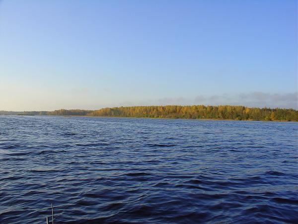
Narva Reservoir (Estonian: Narva veehoidla, Russian: На́рвское водохрани́лище) is a reservoir by Narva River, shared by Russia and Estonia.
Map of Narva Reservoir
The reservoir was constructed during 1955-1956, during the Soviet era. It provides water to Narva Hydroelectric Station (installed capacity 125 MW, located on the Russian side and owned by the power company TGC-1) and cooling water to the Estonian Narva Power Plants. Its surface area at normal headwater level of 25 metres (82 ft) is 191 square kilometres (74 sq mi), of which 40 square kilometres (15 sq mi) belongs to Estonia. Its drainage basin is 55,848 square kilometres (21,563 sq mi).
The overall water exchange rate is high (about 30 times year), with some almost stagnant areas. The ecological status is estimated as "good" (as of 2007).