
Area 213.4 km² | Time zone BST (UTC+6) | |
 | ||
Website Official Map of Narsingdi Sadar | ||
Narsingdi Sadar (Bengali: নরসিংদি সদর) is an Upazila of Narsingdi District in the Division of Dhaka, Bangladesh.
Contents
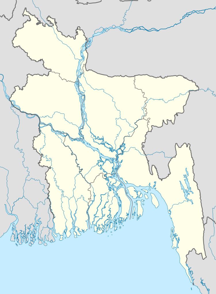
Map of Narsingdi Sadar Upazila, Bangladesh
Geography
Narsingdi Sadar is located at 23.9167°N 90.7250°E / 23.9167; 90.7250 . It has 81780 households and total area 213.44 km².
Demographics
As of the 1991 Bangladesh census, Narsingdi Sadar has a population of 451335. Males constitute 32.61% of the population, and females 67.39%. This Upazila's eighteen up population is 226885. Narsingdi Sadar has an average literacy rate of 31% (7+ years), and the national average of 32.4% literate.
Administration
Narsingdi Sadar has 2 paorasava and 14 Unions/Wards, 203 Mauzas/Mahallas, and 270 villages.
UNO: Mutakabbir Ahmed
References
Narsingdi Sadar Upazila Wikipedia(Text) CC BY-SA