
Number of Tehsils 3 | Time zone PST (UTC+5) Area 2,337 km² | |
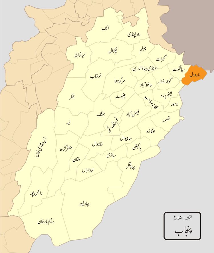 | ||
Narowal District (Urdu: ضِلع نارووال), is a district in the province of Punjab of Pakistan. Narowal city is the capital of the district. It was formed in 1991, when the two tehsils of Narowal and Shakargarh were split off from Sialkot District.
Contents
- Map of Narowal District Pakistan
- Administration
- Geography
- Demography
- People from the Narowal District
- References
Map of Narowal District, Pakistan
Administration
The district is administratively divided into the following three tehsils (subdivisions), which contain a total of 74 Union Councils:
Geography
The district is bounded on the northwest by Sialkot District, on the north by Kathua district of Jammu and Kashmir, on the southeast by the Gurdaspur District(India) pathankot District (Republic of India), on the south by Amritsar district (Republic of India) and on the southwest by Sheikhupura District in Pakistan.
The total area of the district is approximately 2,337 square kilometres. Prior to the creation of Zafarwal Tehsil in July 2009, Narowal Tehsil occupied 1,065 square kilometres while the remaining area (1,272 square kilometres) fell in Shakargarh Tehsil. According to the 1998 census of Pakistan, Narowal District's population was 1,256,097, of which only 12.11% were urbans.
Demography
According to the 1998 census, the district has a population of 1,265,000, 12% of which is urban. The predominant language is Punjabi, which was the first language of 98% of the population, while Urdu accounted for 1.2%.