
Time zone IST (UTC+5:30) Vehicle registration KL-57 Local time Tuesday 4:46 AM | PIN 673585 | |
 | ||
Weather 27°C, Wind NE at 0 km/h, 87% Humidity | ||
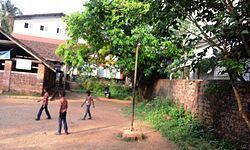
Narikkuni is a village in Kozhikode district in the state of Kerala, India.
Contents
- Map of Narikkuni Kerala 673585
- Demographics
- Notable people
- Important Landmarks
- Suburbs and Villages
- References
Map of Narikkuni, Kerala 673585
Demographics
As of 2001 India census, Narikkuni had a population of 22196 with 10890 males and 11306 females.
Narikkuni is a rural village area located about 22 km from Kozhikode. Narikkuni has a bus stand, a higher secondary school, a community health centre and many other facilities and is a fast developing rural area. This place is famous for its natural beauty with its beautiful hills and trees. The climate here is always moderate compared to Kozhikode and so this place is home to many who work in the cities. Kunnamangalam, an important transportation centre, is about 6 km away. Narikkuni is home to a few small scale industries including ornamental stone works.
Narikkuni is a Village Panjayat in Kozhikkode taluk.
Notable people
Important Landmarks
(one and only sudarshana temple in Kerala)
Suburbs and Villages
ERAVANNUR Kerala's one and only Sudarshana Temple