
District Vaishali PIN 844122 Elevation 52 m Population 6,500 (Dec 2010) | Time zone IST (UTC+5:30) Telephone code 91-6227 XXX XXX Area 5.8 km² ISO 3166 code ISO 3166-2:IN | |
 | ||
Narharpur is a village of Vaishali district in the Bihar state of India. It is about 35 km from headquarters Hajipur. It is located in Jandaha block of the District. It comes under Mahanar constitution in State Assembly & Hajipur Parliamentary in Lok Sabha. Middle School Narharpur is famous place in this village.
Contents
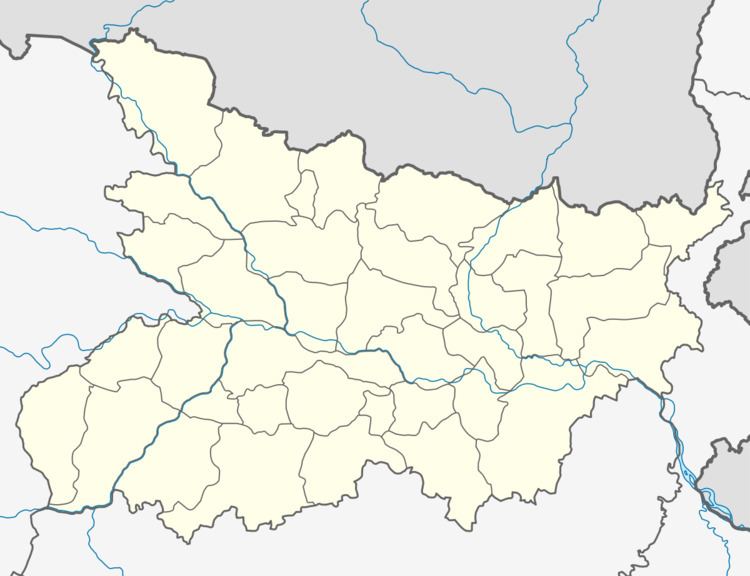
Map of Narharpur, Bihar
Geography
Narharpur is located at 25.68°N 85.22°E.
Transport
It is well connected to Mahua(8 km) and Desari(7 km) via Roadways. Many express trains stop at the nearest rail station in Desari.
Education
Education level is relatively high as per Indian village standard.
Religion
Hinduism is the dominant religion in this area.
References
Narharpur, Bihar Wikipedia(Text) CC BY-SA