
Length 484 km Source elevation 159 m | Basin area 75,200 km² | |
 | ||
- average 328 m/s (11,583 cu ft/s) | ||
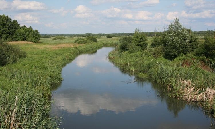
Confluence of bug and narew rivers serock poland
The Narew River ([ˈnarɛf]; Belarusian: Нараў Naraŭ, Ukrainian: Нарва Narva), in western Belarus and north-eastern Poland, is a right tributary of the Vistula river. The Narew is one of Europe's few braided rivers, the term relating to the twisted channels resembling braided hair.
Contents
- Confluence of bug and narew rivers serock poland
- Map of Narew Poland
- Beavers as seen on wildwings tours in poland narew river 19 05 2013 2nd group
- Etymology
- Alternative names
- Geography
- History
- References
Map of Narew, Poland
Beavers as seen on wildwings tours in poland narew river 19 05 2013 2nd group
Etymology
The name of the river comes from a Proto-Indo-European root *nr primarily associated with water (compare Narva, Neretva, Neris, Ner and Nur).
Alternative names
The portion of the river between Zegrze Reservoir and the Vistula is sometimes called Bugonarew, Narwio-Bug, Narwo-Bug, Bugo-Narew, Narwiobug or Narwobug. At the confluence near Zegrze the Bug is longer than Narew, however, the Narew's discharge is much higher. Because of that the river was variously referred to as either Narew, Bug, Bugo-Narew, Bugonarew, Narwiobug or Narwobug.
Until after World War II rivers were commonly classified by their length. As at the confluence near Zegrze Bug is longer than Narew, the Bugonarew was often considered part of Bug river and Narew was thought of as its tributary. However, at the same time Narew's discharge is much higher at their meeting point.
On December 27, 1962 the Prime Minister of Poland's act abolished the name Bugonarew soon after the Zegrze Reservoir had been constructed. Since then the river is considered to be part of Narew, while Bug is currently considered a left tributary. The name however is continued to be used, especially by the inhabitants of towns located along the banks of the stretch of river, such as Pułtusk.
Geography
The Narew flows through the geographical region of Europe known as the Wysoczyzny Podlasko – Bialoruskie (English: Podlasie and Belarus Plateau) located within the Podlaskie Voivodeship and Masovian Voivodeship of Poland and the Hrodna Voblast of Belarus.
The Narew is the fifth longest Polish river.
History
On August 23, 1939, the Soviet Union and Germany signed the Molotov-Ribbentrop Pact, agreeing to divide Poland along the Narew, Vistula (Wisła), and San rivers.
On September 6, 1939, Polish military forces attempted to use the Narew as a defense line against German attack during the German Invasion of Poland. This was abandoned the next day in favor of the Bug as German forces had already penetrated the defenses.
The Battle of Wizna was fought along the banks of the river between September 7 and September 10, 1939, between the forces of Poland and Germany during the initial stages of Invasion of Poland. Because it consisted of a small force holding a piece of fortified territory against a vastly larger invasion for three days at great cost before being annihilated with no known survivors, Wizna is sometimes referred to as a Polish Thermopylae in Polish culture.
On September 17, 1939, the Soviet Union invaded Poland. By 28 September, the Soviet Army had reached the line of the rivers Narew, Bug River, Vistula and San - completing the division of Poland as negotiated in advance.