
Postcode(s) 3525 Postal code 3525 | ||
 | ||
Location 228 km (142 mi) NW of Melbourne92 km (57 mi) S of Swan Hill64 km (40 mi) SW of Kerang | ||
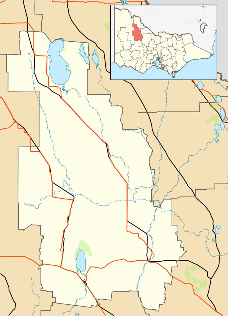
Nareewillock is a locality in the Lower Avoca ward of the local government area of the Shire of Buloke, Victoria, Australia.
Map of Nareewillock VIC 3525, Australia
The post office there opened as Narrewillock [sic] on 1 November 1881, closed on 1 July 1895, reopened in 1902, closed on 1 December 1919, reopened again on 1 January 1921 and was closed on 30 June 1942.
References
Nareewillock Wikipedia(Text) CC BY-SA