
PIN 843324 Area 217 ha Population 10,587 (2011) | Time zone IST (UTC+5:30) Elevation 56 m Local time Tuesday 2:58 AM ISO 3166 code ISO 3166-2:IN | |
 | ||
Vehicle registration BR-30 (Sitamarhi Urban) Weather 17°C, Wind E at 6 km/h, 86% Humidity | ||
Naranga (Hindi: नरंगा) is a developing village and gram panchayat in Parihar (Vidhan Sabha constituency), Sitamarhi district, Bihar, India.
Contents
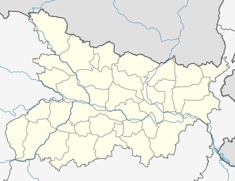
- Map of Naranga Bihar 843324
- Language And Culture
- Education
- Religion
- Festivals
- Connectivity
- Politics
- References
Map of Naranga, Bihar 843324
Language And Culture
Bajjika dialect and Hindi is spoken by the people here. Group of women sings in many occasions like marriage, Janeu etc.
Education
In Naranga there are many private and public schools. The family has to pay fees in private schools. Poor families without paying any fees send their children to public schools.
Religion
Hindu and Muslim lives here with mankind and humanity. Durga Mandir at Naranga Bazaar, Mahadev Math and many temple is here for Hindus. One Mosque for Muslims also here.
Festivals
and several other local festivals as well.
Connectivity
Parwaha lalbandi road connect the area to National Highway 104 (India) in south and Nepal in north.
Naranga dostiya road connect the area to National Highway 77 (India).
The nearest railway station is Sitamarhi railway station.
The nearest airport to Naranga is the Lok Nayak Jayaprakash Airport which is about 150 kilometres (93 mi) distance.
Politics
Naranga play very important role in elections. Naranga is sub divided into two Panchayat
List of Mukhiya of Naranga Uttari