
Coastline 0 kilometres (0 mi) Elevation 58 m ISO 3166 code ISO 3166-2:IN | Time zone IST (UTC+5:30) Nearest city phulparash Local time Tuesday 2:47 AM | |
 | ||
Weather 18°C, Wind E at 10 km/h, 86% Humidity | ||
Geography
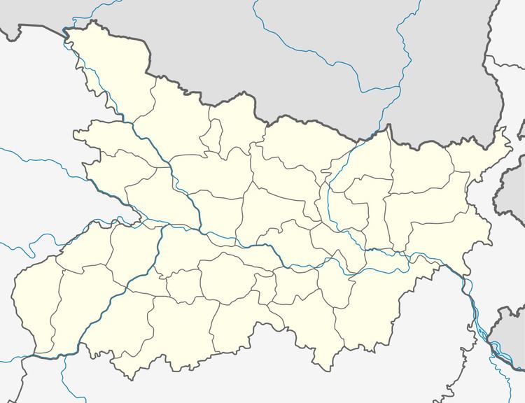
It is located at an elevation of 58 m above MSL. Surrounded by river Balan and Bihul. It is alongside of East-west corridor ( porbander to silcher. Narahia has State Bank of India branch code- 15928, and one branch of North Bihar Regional Gramin Bank. Post office Pin code - 847108. This area comes under Laukahi police station, and Laukha laukahi Vidhan sabha kshetra, and Phulparas constituency. Bhaptiyahi is a village near the Narahia. It is near junction of two national highways NH57 and NH104 close to High School, Narahia.
Location
National Highway 57 passes through Narahia. Nearest civil airport is Patna Airport. Around 70km from Darbhanga. Nearest Railway station is Nirmali & Ghoghardiha.
References
Narahia Wikipedia(Text) CC BY-SA