
Time zone GMT (UTC+0) Local time Monday 9:04 PM | Area 30,000 km² | |
 | ||
Weather 32°C, Wind N at 21 km/h, 23% Humidity | ||
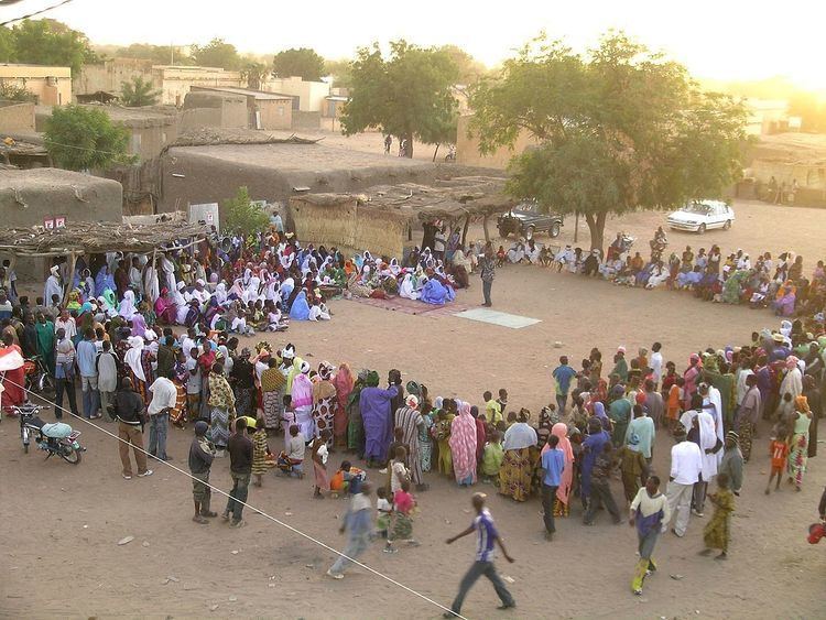
Nara Cercle is an administrative subdivision of the Koulikoro Region of Mali. Its seat is the town of Nara.
Contents
Map of Nara, Mali
Nara Cercle is the northernmost area of Koulikoro Region, and abuts the desert regions of Mauritania to the north. It covers some 30,000 km2, and is home to Bambara and Sarakole (Soninké) peoples, as well as semi-nomadic Maure and Fula peoples, engaged in farming and livestock raising.
Administrative divisions
Nara Cercle is divided into 11 communes:
References
Nara Cercle Wikipedia(Text) CC BY-SA