
Lake type Glacial Lake Primary outflows Naosap Lake Max. length 1.4 km (0.87 mi) Surface elevation 332 m Width 700 m Number of islands 0 | Primary inflows Basin countries Canada Max. width .7 km (0.43 mi) Length 1.4 km Shore length 4.7 km Outflow location Naosap Lake | |
 | ||
Naosap Mud Lake is a small glacial lake approximately 22 km (14 mi) northeast of Bakers Narrows which drains into Naosap Lake. It is part of the Nelson River watershed, in the Hudson Bay drainage basin in the Northern Region of Manitoba, Canada.
Contents
Map of Naosap Mud Lake, Division No. 21, Unorganized, MB, Canada
Description
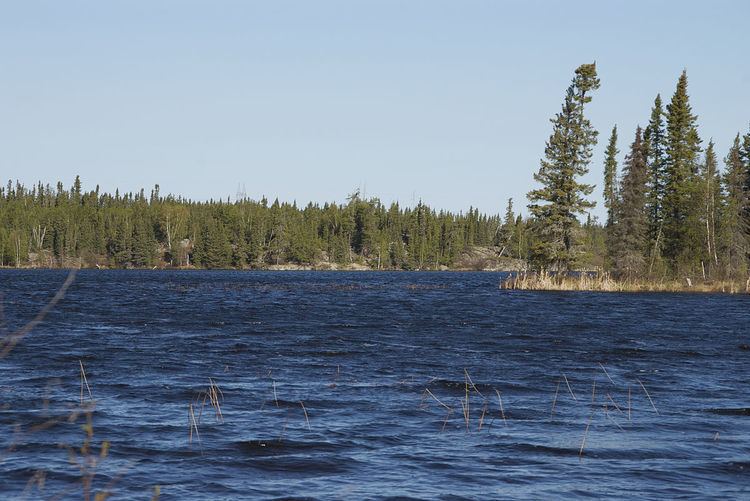
The lakes sits in Churchill River Upland portion of the Midwestern Canadian Shield forests and is surrounded by mixed forest with stands of black spruce, white spruce, jack pine, and trembling aspen. The shoreline is poorly drained areas of muskeg.
Name
The name was officially adopted in 1979.
Canoe Route
Nasoap Mud Lake is part of the "Mistik Creek Loop", a well-known remote canoe trip which is 95 km (59 mi) in total length and can be paddled in four days. The route begins and ends at Bakers Narrows and from Naosap Mud Lake there are portages east to Naosap Lake and south to Alberts Lake.