
Area 275.7 km² | Time zone BST (UTC+6) | |
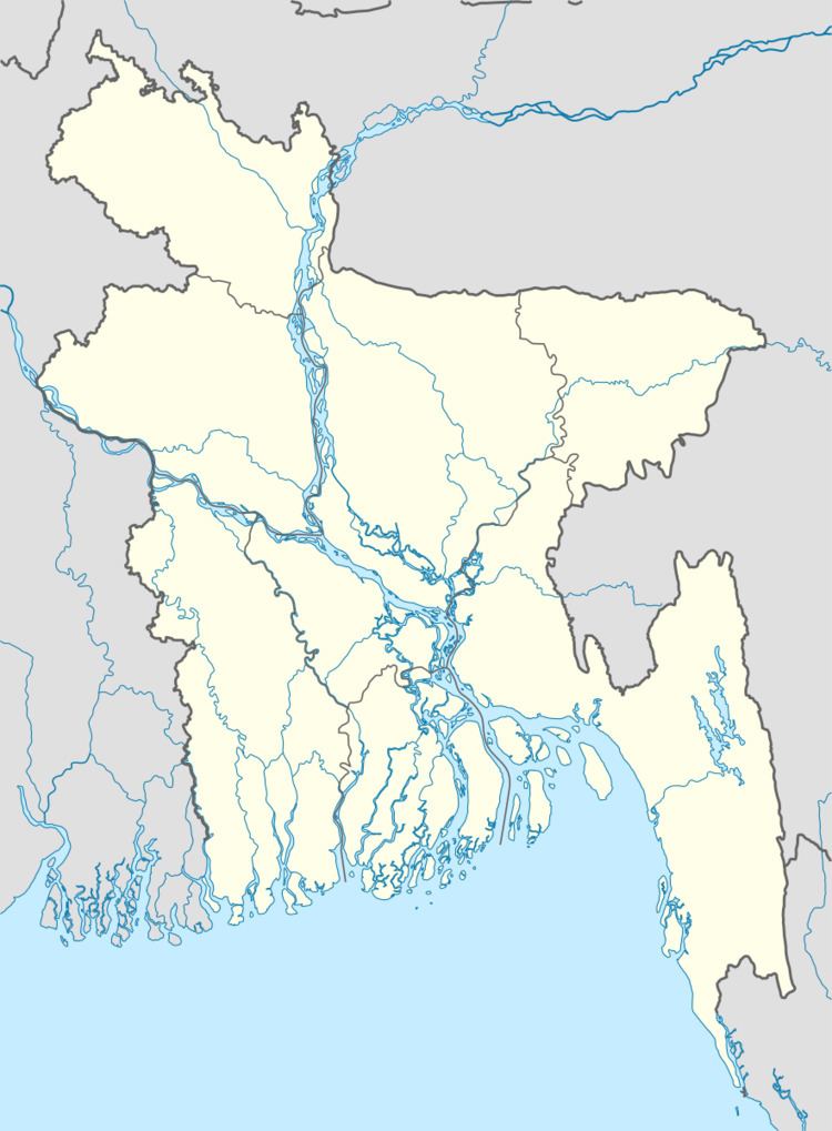 | ||
Website Official Map of Naogaon Sadar | ||
Naogaon Sadar (Bengali: নওগাঁ সদর) is an Upazila of Naogaon District in the Division of Rajshahi, Bangladesh.
Contents
- Map of Naogaon Sadar Upazila Bangladesh
- History
- Geography
- Demographics
- Administration
- Education
- References
Map of Naogaon Sadar Upazila, Bangladesh
History
In British India sub-districts were called as "Thana", which were mainly exercised by the police. When development activities become widespread, it would be known as a development circle. In 1949 Naogaon Sadar was declared as a thana, in 1960 as a development circle and in 1984 as a sub-district.
Geography
Naogaon Sadar is located at 24.8042°N 88.9500°E / 24.8042; 88.9500. It has more than 80,000 households and total area of about 275.73 km².
Demographics
At the 2001 Bangladesh census, Naogaon Sadar had a population of 348,940. Males constituted 51.58% of the population, and females 48.42%. Naogaon Sadar had an average literacy rate of 34.5% (7+ years), against the national average of 32.4% literate.
Administration
Naogaon Sadar has 12 Unions/Wards, 237 Mauzas/Mahallas, and 215 villages.:
Education
According to Banglapedia, Chak Atitha High School, founded in 1914, and Kirtipur Multilateral High School, founded in 1921, are notable secondary schools.