
Area 512 km² | Time zone China Standard (UTC+8) Local time Tuesday 1:18 AM | |
 | ||
Country People's Republic of China Weather 1°C, Wind NW at 13 km/h, 30% Humidity | ||
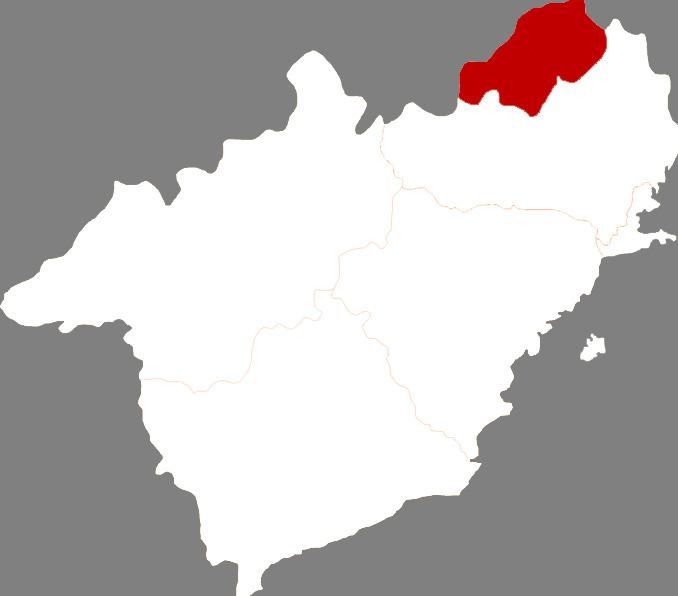
Nanpiao District (simplified Chinese: 南票区; traditional Chinese: 南票區; pinyin: Nánpiào Qū) is a district under the administration of the city of Huludao, Liaoning, People's Republic of China. It is a mostly rural district containing no large urban centres, and comprises an area of 512 square kilometres (198 sq mi), in the north of Huludao prefecture.
Contents
Map of Nanpiao, Huludao, Liaoning, China
The administrative center of the district is Nanpiao town, which is linked to Huludao city by bus and train services.
Administrative Divisions
There are 7 subdistricts, 2 towns, and 2 townships within the district.
Subdistricts:
Towns:
Townships:
References
Nanpiao District Wikipedia(Text) CC BY-SA