
Sub-provincial city Changchun 4 Erdao Local time Monday 11:07 PM Province Jilin | Time zone China Standard (UTC+8) Area 535 km² Population 876,959 (2010) | |
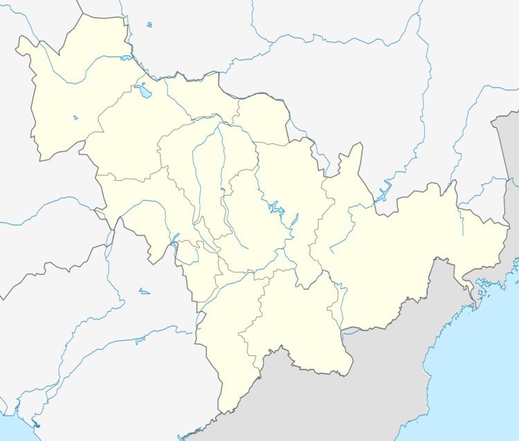 | ||
Country People's Republic of China Changchun district map Subdivisions of Changchun, Jilin
1
2
3
4
5
6
7
8
9
10
Core
1
Nanguan
2
Kuancheng
3
Chaoyang
4
Erdao
5
Luyuan
Suburban
6
Shuangyang
Satellite
8
Jiutai
9
Yushu
10
Dehui
Rural
7
Nong'an Co. Weather -1°C, Wind W at 8 km/h, 58% Humidity Colleges and Universities Jilin University, Jilin University of Finance and Economics Points of interest Changying Century City, Jingyue Pool, Jingyuetan Ski Resort, Changchun Zoological and Bota, Changchun World Sculpture | ||
Nanguan District (simplified Chinese: 南关区; traditional Chinese: 南關區; pinyin: Nánguān qū) is one of six districts of Changchun, the capital of Jilin province, People's Republic of China, and forms part of the urban core. It borders the districts of Kuancheng to the north, Erdao to the northeast, Shuangyang to the southeast, Chaoyang to the west, and the prefecture-level city of Siping to the south.
Contents
Map of Nanguan, Changchun, Jilin, China
Administrative divisions
There are 12 subdistricts, 3 towns, and 2 townships.
Subdistricts:
Towns:
Townships:
References
Nanguan District Wikipedia(Text) CC BY-SA