
Sub-provincial city Harbin Website hrbng.gov.cn Population 1.344 million (2010) | Time zone China Standard (UTC+8) Area 182.9 km² Province Heilongjiang | |
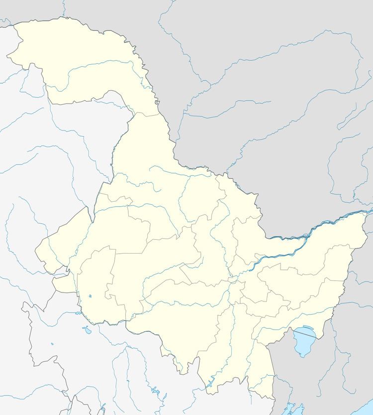 | ||
Country People's Republic of China Harbin district map 1
2
3
4
5
6
Shuangcheng
Hulan
Bayan
County
Mulan
County
Tonghe
County
Yilan
County
Bin
County
Fangzheng
County
Acheng
Yanshou
County
Shangzhi
(city)
Wuchang
(city)
1. Daoli
2. Daowai
3. Songbei
4. Nangang
5. Pingfang
6. Xiangfang | ||
Nangang District (simplified Chinese: 南岗区; traditional Chinese: 南崗區; pinyin: Nángǎng Qū) is one of nine districts of Harbin, the capital of Heilongjiang province, People's Republic of China, forming part of the city's urban core. It is home to major offices of the provincial government and is the political heart of Heilongjiang province. Other areas of interest within the district are the Harbin Railway Station, Guomao underground shopping street, a Confucian temple and the Buddhist Jile Temple. By far the most populous and densely populated of Harbin's county-level divisions, it borders the districts of Daowai and Xiangfang to the northeast, Pingfang to the southeast, Shuangcheng to the south, and Daoli to the west. A new subway system is also being built currently.
Map of Nangang, Harbin, Heilongjiang, China
Nangang district is also famous by the business area around the Hongbo square, there are several shopping centers such as Qiulin corporation, Harbin No. 1 shopping center corporation, Yuanda shopping center.
The central part of Nangang includes the Harbin Institute of Technology, Northern Theater, and the First Affiliated Hospital of Harbin Medical University.
There are also many famous streets in Nangang District, such as Tieling Street, Guogeli Street, Anshan Street, Longjiang Street, Jilin Street, Ashihe Street, etc.
Nangang district also has many excellent schools, such as No. 69 middle school and Harbin No 3 High School.