
PIN 151505 Elevation 212 m Area code 01652 | Time zone IST (UTC+5:30) Telephone code 01652 Population 7,031 (2011) | |
 | ||
Nangal Kalan is one of the biggest villages of Mansa district, Punjab, India. It's 7 kilometres (4.3 mi) away from the city Mansa and 2 kilometres (1.2 mi) away from Mansa-Sirsa Road. The population is Punjabi-speaking and is wedded to the Malwa culture of Punjab.
Contents
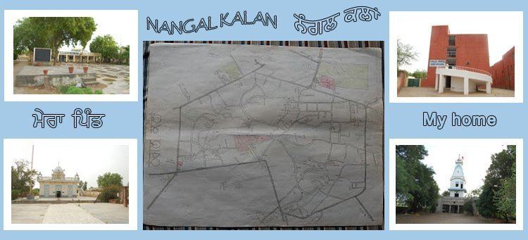
Map of Nangal Kalan, Punjab 151505
Nangal Kalan is situated in the cotton belt of Punjab.
Geography
Nangal Kalan is located at 29.92°N 75.40°E / 29.92; 75.40. It has an average elevation of 212 metres (695 feet).
References
Nangal Kalan Wikipedia(Text) CC BY-SA