
Country State | Language spoken District Nandurbar | |
 | ||
Map of Nandurbar
Nandurbar pronunciation is a city and a municipal council in Nandurbar district in the Indian state of Maharashtra. Nandurbar municipal corportaion is the first municipal corporation which provide a free wi fi service to the public . Nandurbar is an administrative district in the northwest corner of (Khandesh region) of Maharashtra. On 1 July 1998 Dhule was bifurcated as two separate districts now known as Dhule and Nandurbar. The district headquarters is located at Nandurbar city. The district occupies an area of 5034 km² and has a population of 1,311,709 of which 15.45% is urban (as of 2001). Nandurbar district is bounded to the south and south-east by Dhule district, to the west and north is the state of Gujarat, to the north and north-east is the state of Madhya Pradesh. The northern boundary of the district is defined by the great Narmada river. It came into limelight during February 2006 bird flu crisis which struck many of its poultry farms. Thousand of chickens from the farms had to be killed and buried in nearby grounds to stop the virus spreading. Earlier of 2016, Nandurbar is introduced as First free WIFI city of Maharashtra.
Contents
- Map of Nandurbar
- Nandurbar toranmal tourism
- Geography
- Transport
- Demographics
- Tourist Attractions
- References
Nandurbar toranmal tourism
Geography
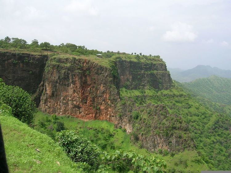
Nandurbar is located at 21.37°N 74.25°E / 21.37; 74.25. It has an average elevation of 210 metres (688 feet). It has mainly hilly region and have 'Toranmal' which is 2nd hill station after Matheran in Maharashtra. Tapi river is located at 12 km from city. Narmada river forms the district's boundary on the northern and north-eastern side.it is well known tribal area. hence called tribal district.
Transport
Nandurbar is served by a station on the Indian Railways network. Also State transport buses are available.Nandurbar is connected to Madhya Pradesh and Gujarat by indian state highways
Demographics
As of 2011 India census, Nandurbar had a population of 1,11,037. Nandurbar has an average literacy rate of 72%, higher than the national average of 59.5%: male literacy is 78%, and female literacy is 65%. In Nandurbar, 12% of the population is under 6 years of age.