
Population 11,453 (Jun 2013) | Area 565.6 km² | |
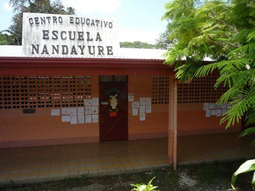 | ||
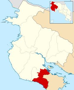
Nandayure is the ninth canton in the province of Guanacaste in Costa Rica. The canton covers an area of 565.59 km², and has a population of 11,453. Its capital town is Carmona.
Contents
The canton encompasses a piece of the coastline of the Gulf of Nicoya near the mouth of the Río Tempisque, including Isla Berrugate. It cuts across the center of the Nicoya Peninsula to the Pacific coast between the Río Ora to the north and the Río Bongo to the south.
Districts
The canton of Nandayure is subdivided into six districts (distritos):
History
The canton was established by law on October 9, 1961.
On September 5, 2012, Nandayure was struck by a magnitude 7.6 earthquake, destroying houses in the canton.
References
Nandayure (canton) Wikipedia(Text) CC BY-SA