
 | ||
Similar Two Peoples Bay Natur, Gull Rock National Park, West Cape Howe National, Torndirrup National Park, Oyster Harbour - Western | ||
Nanarup Beach is a beach in the Great Southern region of Western Australia, 20 kilometres (12 mi) east of Albany.
Contents
Map of Nanarup Beach, Western Australia, Australia
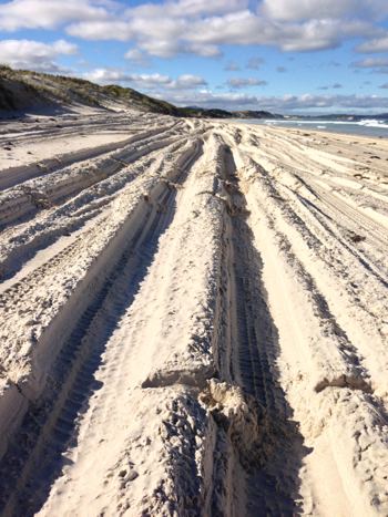
The beach is white sand and has stairway access at the western end where Taylor Inlet discharges into the ocean. Toilets, a picnic area and a caravan park are also situated at the western end of the beach. Four-wheel drive vehicles are permitted on the beach and can drive as far as Two Peoples Bay.
The beach is not patrolled by surf lifesavers and can be dangerous due to the presence of many rips along the beach. A man drowned at Nanarup in 2013 after being swept off the rocks while fishing. The area is popular for surfing, fishing and swimming.
Approximately 4.2 kilometres (3 mi) in length, Nanarup has scattered beachrock reefs at the eastern end for a distance of about 1.0 kilometre (1 mi) then curves to the southwest; the remaining length is a wave dominated surf zone that extends as far as the inlet. The beach is mostly backed by scarped 40 feet (12 m) calcarenite bluffs to the east and unstable dunes to the west.
The far western end of the beach has the 20 metres (66 ft) granite boulders of Islet point connected to the shore by a small tombolo forming a sheltered pool.