Country United States Elevation 65 m Zip code 36764 Local time Monday 7:32 AM | Time zone Central (CST) (UTC-6) Area 5.62 km² Population 94 (2010) Area code 334 | |
 | ||
Weather 12°C, Wind NW at 0 km/h, 73% Humidity | ||
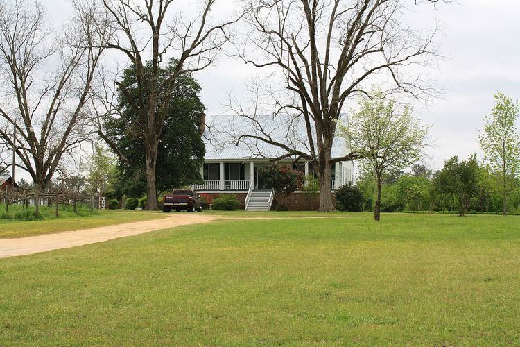
Nanafalia is an unincorporated community and census-designated place in Marengo County, Alabama, United States. As of the 2010 census, its population was 94. The community is located on a ridge above the Tombigbee River and the name is derived from the Choctaw words for long hill. Nanafalia had a post office at one time, but it is no longer active.
Contents
Map of Nanafalia, AL 36782, USA
Demographics
As of the 2010 United States Census, there were 94 people residing in the CDP. The racial makeup of the CDP was 57.4% White, 40.4% Black and 2.1% from two or more races.
Notable person
References
Nanafalia, Alabama Wikipedia(Text) CC BY-SA
