
PIN 743357 Local time Monday 4:48 PM | Time zone IST (UTC+5:30) ISO 3166 code IN-WB Population 7,058 (2011) | |
 | ||
Weather 26°C, Wind SE at 10 km/h, 75% Humidity | ||
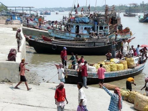
Namkhana is a village in Namkhana CD Block in South 24 Parganas district in the Indian state of West Bengal.
Contents
Map of Namkhana, West Bengal
Geography
Namkhana is located at 21°46′00″N 88°14′00″E. It is located on both sides of Hatania Doania creek,
Demographics
Namkhana village has a population of 7,058 of which 3,609 are males and 3,449 are females as per population census 2011.
Literacy
Namkhana village had a literacy rate of 82.50 in 2011, as compared with 76.26 in the whole of West Bengal. Male literacy was 82.50 and female literacy was 74.95.
Transport
NH 12 passes through Namkhana. It is located at a distance of about 80 km from Kolkata.
There is no bridge across the Hatania Doania creek at Namkhana. Four-wheelers are driven on to a ferry, which carries them across the creek.
Namkhana is linked to Sealdah by the Sealdah-Namkhana Line, via Lakshmikantapur and Kakdwip.