
Length 163 km Mouth St. Croix River Cities Superior | Source Lake Namakagon Country United States of America | |
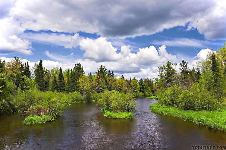 | ||
Kayaking with virgin snow on namekagon river in hayward wisconsin
The Namekagon River (pronounced NAM-uh-KAH-gun) is a tributary of the St. Croix River. It is 101 miles (163 km) long and is located in northwestern Wisconsin in the United States. Its course is protected as part of the St. Croix National Scenic Riverway.
Contents
- Kayaking with virgin snow on namekagon river in hayward wisconsin
- Map of Namekagon River Wisconsin USA
- CourseEdit
- References
Map of Namekagon River, Wisconsin, USA
According to the Geographic Names Information System, the river's name has also been spelled Namakagon, Namekagan, and Namekagun; the United States Board on Geographic Names issued a decision setting "Namekagon" as the river's spelling in 1933. Its name is derived from the Ojibwe language Namekaagong-ziibi, meaning "river at the place abundant with sturgeons."
Kayaking with virgin snow on namekagon river in hayward wisconsin
CourseEdit
The Namekagon River issues from Lake Namakagon in southeastern Bayfield County and flows southwestwardly through Sawyer and Washburn counties, past Hayward, and northwestwardly into Burnett County, where it joins the St. Croix, 45 miles (72 km) south of the city of Superior. Near its mouth it collects the Totagatic River.