
Time zone AEST (UTC+10) | Area 6,574 km² | |
 | ||
LLGs ListNamatanai (R)Sentral Niu Ailan (R)Konoagil (R)Nimamar (R)Tanir (R)Matalai(r) | ||
Namatanai District is the southernmost and larger of the two districts of New Ireland Province in Papua New Guinea. The district covers the southern part of the island of New Ireland, as well as the Tabar Group, the Lihir Group, the Tanga Islands and the Feni Islands.
Map of Namatanai, Papua New Guinea
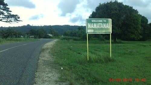
The district headquarters is Namatanai and the district has six LLG areas, Namatanai Rural LLG, Sentral Niu Ailan Rural LLG, Konoagil Rural LLG, Nimamar Rural LLG, Matalai Rural LLG and Tanir Rural LLG.
References
Namatanai District Wikipedia(Text) CC BY-SA