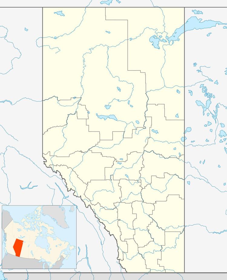
 | ||
Namaka is a hamlet in southern Alberta, Canada within Wheatland County. It is located approximately 10 kilometres (6.2 mi) south of Highway 1 and 55 kilometres (34 mi) east of Calgary. Its name means "near the water" in Blackfoot. The first school was built in 1909.
Contents
Map of Namaka, AB, Canada
Demographics
As a designated place in the 2016 Census of Population conducted by Statistics Canada, Namaka recorded a population of 50 living in 21 of its 21 total private dwellings, a change of 2998704000000000000♠−29.6% from its 2011 population of 71. With a land area of 0.13 km2 (0.050 sq mi), it had a population density of 384.6/km2 (996.1/sq mi) in 2016.
As a designated place in the 2011 Census, Namaka had a population of 71 living in 23 of its 24 total dwellings, a 10.9% change from its 2006 population of 64. With a land area of 0.09 km2 (0.035 sq mi), it had a population density of 790/km2 (2,040/sq mi) in 2011.
