
Country Thailand Time zone ICT (UTC+7) Geocode 4118 Province Udon Thani Province | Seat Ban Yuak Postal code 41210 Area 742.1 km² | |
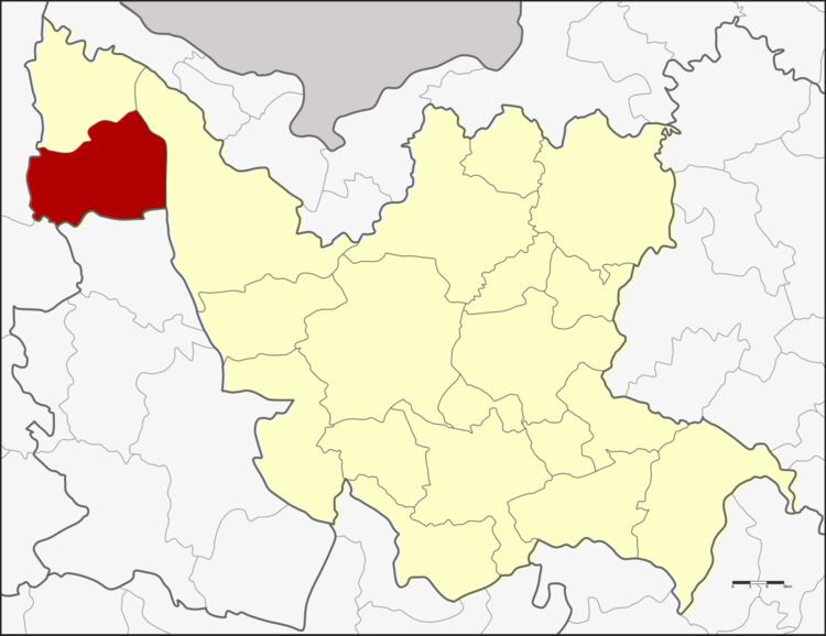 | ||
Nam Som (Thai: น้ำโสม) is a district (amphoe) in the northwestern part of Udon Thani Province, northeastern Thailand.
Contents
Map of Nam Som District, Udon Thani, Thailand
Geography
Neighboring districts are (from the north clockwise) Na Yung, Ban Phue of Udon Thani Province, Suwannakhuha of Nongbua Lamphu Province, and Pak Chom of Loei Province. Na Yung-Nam Som National Park lies within the district's boundaries.
History
The minor district (king amphoe) was created on 12 May 1969, when the two tambon Nam Som and Na Yung were split off from Ban Phue district. The third tambon Nong Waeng was added on 4 July 1969. The minor district was upgraded to a full district on 1 April 1974.
Administration
The district is divided into seven sub-districts (tambon), which are further subdivided into 80 villages (muban). There are two townships (thesaban tambon) - Na Ngua covers parts of tambon Na Ngua and Si Samran; Nam Som cover parts of tambon Nam Som and also Si Samran. There are further seven tambon administrative organizations (TAO).
Missing numbers are tambon which now form Na Yung district.