
Country Thailand Time zone THA (UTC+7) Geocode 3433 Population 30,587 (2005) | Seat Ta Kao Postal code 34260 Area 377.5 km² Province Ubon Ratchathani Province | |
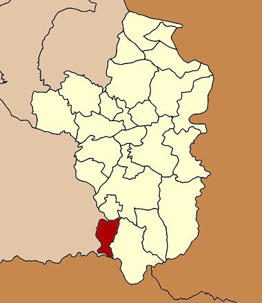 | ||
Nam Khun (Thai: น้ำขุ่น) is a district (Amphoe) in the southwestern part of Ubon Ratchathani Province, northeastern Thailand.
Contents
Map of Nam Khun District, Ubon Ratchathani 34260, Thailand
The name of the district translates to muddy water.
History
The area of Nam Khun was originally part of Nam Yuen district. The government created the minor district (King Amphoe) on July 15, 1996.
Following a decision of the Thai government on May 15, 2007, all of the 81 minor districts were to be upgraded to full districts. With the publishing in the Royal Gazette on August 24 the upgrade became official.
Geography
The district is bound in the south by the Dangrek Range. Neighboring districts are (from the west clockwise) Kantharalak of Sisaket Province, Thung Si Udom, Det Udom and Nam Yuen of Ubon Ratchathani, and Preah Vihear of Cambodia.
Administration
The district is subdivided into 4 subdistricts (tambon), which are further subdivided into 49 villages (muban). There are no municipal (thesaban) areas, and 4 Tambon administrative organizations (TAO).