
Country Vietnam Capital Nam Định Calling code 3503 | Region Red River Delta Time zone ICT (UTC+7) ISO 3166 code VN-67 | |
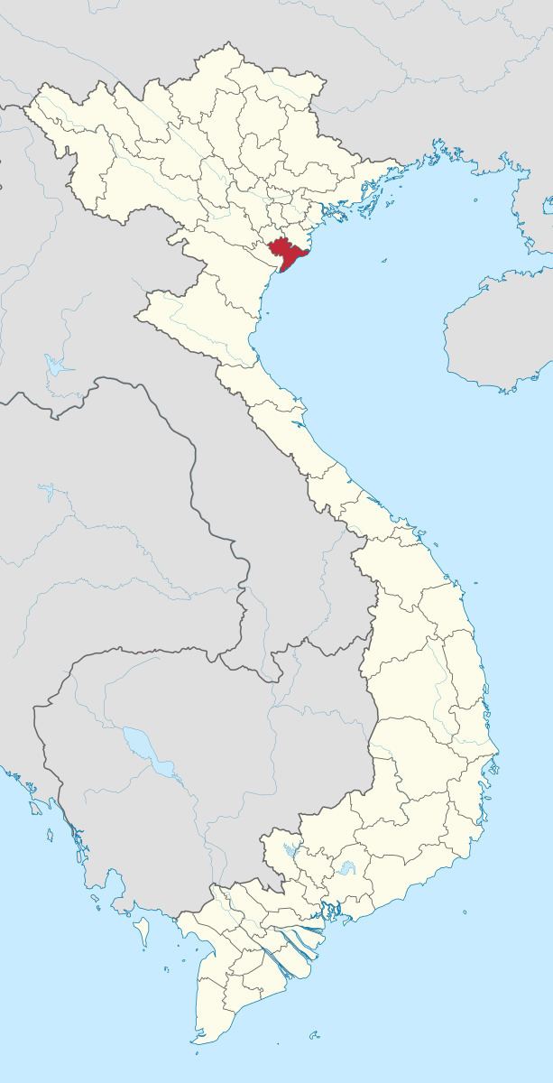 | ||
Nam Định ( listen) is a province in the Red River Delta region of northern Vietnam.
Contents
- Map of Nam C490E1BB8Bnh Vietnam
- Administrative divisions
- Topography
- Climate
- Economy
- Industrial zones
- Education
- References
Map of Nam %C4%90%E1%BB%8Bnh, Vietnam
Administrative divisions
Nam Định is subdivided into 10 district-level sub-divisions:
They are further subdivided into 15 commune-level towns (or townlets), 194 communes, and 20 wards.
Topography
Nam Định Province can be divided into 3 regions: The low-lying delta region - Vụ Bản District, Ý Yên District, Nam Trực District, Trực Ninh District, Xuân Trường District. This region has a high level of agriculture and, textile and manufacturing industries.
The lowland coastal region - is home to districts such as, Giao Thủy, Hải Hậu, and Nghĩa Hưng. Nam Định's coastline is 72 km long and has favorable conditions for raising livestock and fishing. Here one will also find Xuân Thủy National Nature Reserve.
The Central region - where Nam Định is located, is supported through textile and garment industries, mechanical and processing industries, and traditional trades. Along with a general services sector, there is a growing professional sector as well. Nam Định is at the center of Việt Nam's growing textile and trade gateway to the south via the Red River Delta.
Nam Định has four major estuaries: Ba Lạt, Đáy, Lạch Giang, and Hà Lạn.
Climate
Like most other provinces in the North Delta region, Nam Đinh has a humid subtropical climate. The average annual temperature ranges from 23-24 °C (73-75 °F). The coldest months are December and January, with average temperatures ranging from 16-17 °C (61-63 °F) and the hottest month being July, with temperatures over 29 °C (84 °F). The average annual rainfall is between 1750-1800mm (69-71 inches) per year, divided into two distinct seasons: rain season from May to October, and the non-rain season (or less rain season) from November to February. The total number of hours of sunlight per year averages out about 1650–1700 hours per year. The average relative humidity: 80-85%. Additionally, being next to the Gulf of Tonkin, Nam Định is normally affected by tropical storms and monsoons, with an average of 4-6 attacks per year.
Economy
In 2000 the estimated provincial GDP reach $400,000 USD (5.92 billion VND). In 2005, the economy structure was as following: agriculture-forestry-fishing 41%, industrial and construction 21.5%, services 38%.
Industrial zones
Education
Nam Định Province is well known in Vietnam for its traditional education system and schools. Nam Định has 4 universities. Lê Hồng Phong High School is one of the top ranked high schools in all of Vietnam. Other top schools in Nam Định are Giao Thủy A High School, Trần Hưng Đạo High School, Nguyễn Khuyến High School, and Hải Hậu A, which were all in Vietnam's top 200 schools (National High School Standards - 2003). Nam Định has 16 schools in the top 200 (as of 2003), in addition to Vietnam's top 100 schools of 2009, Nam Định currently has 5 schools.