
Elevation 1,360 m | Time zone EAT (UTC+3) Local time Monday 8:35 AM | |
 | ||
Weather 28°C, Wind E at 13 km/h, 69% Humidity | ||
Nakapiripirit is a town in the Nakapiripirit District of the Northern Region of Uganda. It is the seat of the district headquarters.
Contents
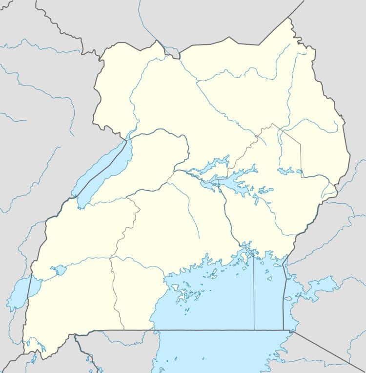
Map of Nakapiripirit, Uganda
Location
Nakapiripirit is located approximately 125 kilometres (78 mi), by road, northeast of Mbale, the nearest large town. This is approximately 360 kilometres (220 mi), northeast of Kampala, the capital and largest city of Uganda. The coordinates of Nakapiripirit are 1°51'00.0"N, 34°43'12.0"E (Latitude:1.8500; Longitude:34.7200).
Population
The 2002 national population census estimated the population of the town at 1,640. In 2010, the Uganda Bureau of Statistics (UBOS) estimated the mid-year population at 2,600. In 2011, UBOS estimated the population at 2,800.
Points of interest
The following additional points of interest lie in Nakapiripirit or near its borders: