
Intercommunality Pays Dunois Area 36.23 km² | Population (2008) 657 Local time Monday 4:35 AM | |
 | ||
Weather 8°C, Wind W at 6 km/h, 92% Humidity | ||
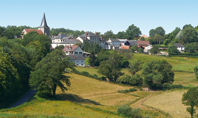
Naillat is a commune in the Creuse department in the Nouvelle-Aquitaine region in central France.
Contents
Map of 23800 Naillat, France
Geography
A farming area comprising the village and several hamlets situated some 14 miles (23 km) northwest of Guéret at the junction of the D5, D14 and the D44 roads. A small tributary of the Creuse, the river Brézentine flows through the middle of the village.
Sights
References
Naillat Wikipedia(Text) CC BY-SA