
From: Butibori States: Maharashtra | To: Ghoti Length 700 km | |
 | ||
Primary
destinations: Nagpur, Aurangabad, Mumbai | ||
Nagpur–Aurangabad–Mumbai express highway is a Maharashtra State Highway, as its area lies in the state of Maharashtra only, but built on the National Express Highway basis.
Contents
- Map of Nagpur Aurangabad Mumbai Hwy Maharashtra
- Development
- Importance of the Project
- Built and Development
- Major Cities Bypassed
- Passing through Districts Areas
- Covered Regions and Area
- Major route
- Junctions
- Trivia
- References
Map of Nagpur-Aurangabad-Mumbai Hwy, Maharashtra
Development
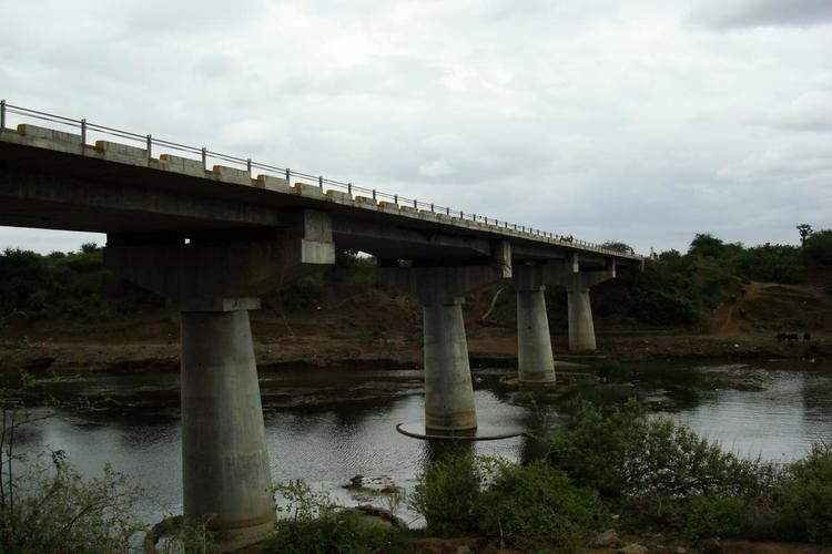
Express Highway, based on the government approval and the formal announcement by state government authorities, this highway is a project connecting two major cities Nagpur & Aurangabad in Maharashtra to the capital city of Mumbai via the same link-route and in less than the distance covered by the NH 6. The new road theoretically saves 65 km distance between the two cities and the travel time of nearly one-and-half hours. Though said so, ironically, if developed with 4 lane basis, as declared earlier by the State Public Works Dept., this highway can save more than 8 hrs of time between Nagpur and Mumbai, as compared to NH 6.
Though approved on 23 Dec, 1999, its major development started in late 2002 and it is now completed almost 60%, by the end of 2011. The Aurangabad - Mumbai sector is already started with full flow of traffic, while the Nagpur - Aurangabad sector is still under construction and expected to be completed soon (by the end of 2015 ). It is expected to share the major direct road traffic between these cities, including almost 30%-40% of traffic from NH 6.
Importance of the Project
IMPORTANCE OF THE PROJECT.
Built and Development
Though this is a state highway, but it is built on the National Highway basis. For the list of the other Major and National Highways in India, click here and for the list of the other Major and National Highways in Maharashtra State click here.
The Highway is 80% completed throughout and the remaining work is supposed to be done by the end of 2019. The Maharashtra government is trying to operate this highway through a private party for over 30 years to recover the cost of this highway.
Major Cities Bypassed
This highway bypasses the other major cities in Maharashtra state, on NH 6 and on NH 3, though it passes through their districts areas. It directly connects Wardha to Jalna, via Pulgaon & Karanja Lad.
The Major cities bypassed (not on this highway) ..
Passing through Districts Areas
This Highway passes through almost 12 districts of Maharashtra which are ..
Covered Regions and Area
The total length of this highway is 700 km (430 Miles), from Nagpur to Mumbai, excluding the portions of NH 7 and NH 3 it covers at Nagpur-Butibori and Ghoti-Kalyan-Mumbai sectors respectively. This highway also covers the part portions of the Maharashtra State Highways at certain areas, which are now being rebuilt with National Highway Standards.
This highway roughly covers the regions in Maharashtra as,
Major route
Its major route is as follows:
Nagpur–Aurangabad–Mumbai express highway is a Maharashtra State Highway (MSH), as its area lies entirely in the state of Maharashtra, but built on the National Highway standards. There is a link to this route from Karanja–Loni–Nagzari corridor to Amravati: