
Coat of arms Flag Work settlements 1 Area 3,019 km² | Selsoviets 9 | |
 | ||
Nagaybaksky District (Russian: Нагайба́кский райо́н) is an administrative and municipal district (raion), one of the twenty-seven in Chelyabinsk Oblast, Russia. It is located in the south of the oblast. The area of the district is 3,022 square kilometers (1,167 sq mi). Its administrative center is the rural locality (a selo) of Fershampenuaz. Population: 20,927 (2010 Census); 24,310 (2002 Census); 25,959 (1989 Census). The population of Fershampenuaz accounts for 20.9% of the district's total population.
Contents
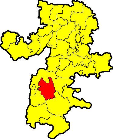
Map of Nagaybaksky District, Chelyabinsk Oblast, Russia
Symbols
The coat of arms and flag of Nagaybaksky District consists of two wheat stalks holding a sword on a blue field, symbolizing an agrarian population serving for the protection of other agrarians from nomads. The blue field symbolizes their Turkic steppe origin.