
Time zone BST (UTC+6) Area 262.7 km² | Established on 9 September, 1983 Postal Code 1936 Population 288,092 (2011) | |
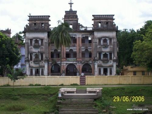 | ||
Nagarpur upazila
Nagarpur (Bengali: নাগরপুর) is an Upazila of Tangail District in the Division of Dhaka, Bangladesh.
Contents
- Nagarpur upazila
- Map of Nagarpur Bangladesh
- Geography
- Demographics
- Education
- Administration
- Notable People
- References
Map of Nagarpur, Bangladesh
Geography
Nagarpur is located at 24.0500°N 89.8750°E / 24.0500; 89.8750. The total area of the Upazila is 262.7 km².
Demographics
As of the 2011 Bangladesh census, Nagarpur has a population of 288092. There are households 66523 in total. Nagarpur Town has an area of 4.68 km2. The town has a population of 13110; male 51.25%, female 48.75%; density of population is 2801 per km2.
Education
Nagarpur has an average literacy rate of 42.7% (Male-46.3%, Female-39.6%).
Administration
The thana of Nagarpur was established in 1906. It was turned into Upazila on 9 September, 1983. Nagarpur Upazila consists 12 Unions, 212 Mauzas/Mahallas, and 250 villages.
Notable People
The Union Parishads are-
References
Nagarpur Upazila Wikipedia(Text) CC BY-SA