
Country India Language spoken Area 25.6 km2 | State Region Rayalaseema District | |
Nagari is a municipal town in the Chittoor district of Andhra Pradesh.
Contents
Map of Nagari, Andhra Pradesh
Climate
Nagari experiences tropical climatic conditions and due to the close proximity of the Bay of Bengal the humidity is extremely high. Summers are long and hot. Monsoon season brings substantial rainfall and temperatures reduce during this period. Winters are much milder and the temperatures drop considerably.
Summer season starts in March and can last till June. Temperatures gradually increase over the summer and it reaches the peak level in May. Temperatures vary from a minimum of 35 °C and can rise up to a maximum of 45 °C. Monsoon season is from June to October.
Winter season is from December to February. Temperatures range between 20 °C and 27 °C during the winter season. December is usually the coolest month of the year.
Demographics
As of 2011 Census of India, the town had a population of 62,253. The total population constitute, 31,363 males and 30,890 females —a sex ratio of 985 females per 1000 males, higher than the national average of 940 per 1000. 6,842 children are in the age group of 0–6 years, of which 3,571 are boys and 3,271 are girls—a ratio of 916 per 1000. The average literacy rate stands at 77.85% with 43,136 literates, significantly higher than the national average of 73.00%.
Geography
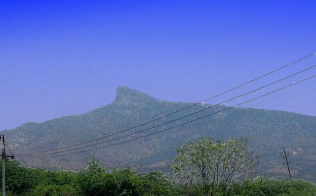
Nagari is located at 13.33°N 79.58°E? / 13.33; 79.58. It has an average elevation of 116 metres (380 feet).
Culture
The people of Nagari speak Telugu and Tamil.