
Country Japan Region Ch?buK?shinetsu Population 381,511 (2010) | Area 834.85 km2 Mayor Sh?ichi Washizawa | |
 | ||
Colleges and Universities Nagano Prefectural College Points of interest Togakushi Shrine, Big Hat, Iizuna Kogen Ski Area, Nagano Olympic Stadium, Mount Iizuna | ||
Map of Nagano, Nagano
Nagano (長野市, Nagano-shi, [náꜜgànò]) is the capital city of Nagano Prefecture in the Chūbu region of Japan. As of October 1, 2016, the city had an estimated population of 375,234 and a population density of 449 persons per km². Its total area was 834.81 square kilometres (322.32 sq mi).
Contents
- Map of Nagano Nagano
- Onsen ryokan in nagano japanjapan travel guide suwa onsen shinyu in nagano
- Japan trip shiga kogen ski resort expansive snow heaven nagano japan
- History
- 1998 Winter Olympics and Paralympics
- Geography
- Surrounding municipalities
- Climate
- Universities and colleges
- Primary and secondary education
- Railway
- Bus
- Airport
- Highways
- International relations
- Local attractions
- Sports
- Noted people from Nagano
- Japan travel tsumago town of edo period japanese food nagano japan
- References
Onsen ryokan in nagano japanjapan travel guide suwa onsen shinyu in nagano
Japan trip shiga kogen ski resort expansive snow heaven nagano japan
History
Nagano is located in former Shinano Province and developed from the Nara period as a temple town at the gate of the famous Zenkō-ji, a 7th-century Buddhist temple which was relocated to this location in 642 AD, and as a post station on the Hokkoku Kaidō highway connecting Edo with the Sea of Japan coast. During the Sengoku period, the area was hotly contested between the forces of the Uesugi clan based in Echigo Province and the Takeda clan based in Kai Province. The several Battles of Kawanakajima between Uesugi Kenshin and Takeda Shingen were fought near here. During the Edo period, much of the area came under the control of the Sanada clan based at Matsushiro Domain. The area suffered from flooding in 1742, and from a destructive earthquake in 1847. Following the Meiji restoration and the creation of the municipalities system on April 1, 1889, the modern town of Nagano was established. Nagano was elevated to city status on April 1, 1897. It was the first city founded in Nagano Prefecture and the 43rd city in Japan.
The city borders expanded on July 1, 1923, with the annexation of the neighbouring town of Yoshida and villages of Sarita, Miwa and Komaki. During World War II, construction of the Matsushiro Underground Imperial Headquarters as the last redoubt for the Japanese government following the projected American invasion of Japan was started in 1944, but was aborted in 1945 due to the end of war.
The city again expanded on April 1, 1954 by annexing neighbouring villages of Asahi, Furusato, Yanagihara, Wakatsuki, Asakawa, Naganuma, Amori, Odagiri, Imoi and Mamejima. In 1959, due to the flooding of Chikuma River, 71 people died or were missing and 20,000 homes were flooded.
On October 16, 1966, the city again expanded by annexing the neighbouring towns of Kawanakajima, Matsushiro and Wakaho, and villages of Shinonoi, Kohoku, Shinko, and Naniai. During the 1985 Matsushiro earthquake, 27 people died and 60 homes were destroyed or badly damaged due to landslides.
In 1998, Nagano hosted the 1998 Winter Olympics and the Paralympics. It was elevated to a core city with increased local autonomy in 1999.
Nagano continued to expand on January 1, 2005, by absorbing the municipalities of Toyono, and the village of Togakushi, and Kinasa (from Kamiminochi District), and the village of Ōoka (from Sarashina District).
Nagano hosted the 2005 Special Olympics World Winter Games.
On January 1, 2010, Nagano absorbed the town of Shinshūshinmachi and the village of Nakajō from Kamiminochi District.
1998 Winter Olympics and Paralympics
Nagano hosted the 1998 Winter Olympics and Paralympics, the third Olympic Games and second winter Olympics to be held in Japan, after the Tokyo 1964 Summer Olympics and the 1972 Winter Olympics in Sapporo (the first Winter Games ever held in Asia). As of 2010, Nagano was the southernmost host of the Winter Olympic Games. The Nagano Olympic Commemorative Marathon is held annually to commemorate the occasion.
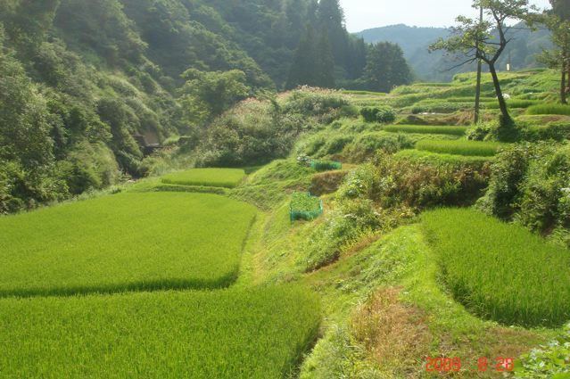
Geography
Nagano is located in north-central Nagano Prefecture, near the confluence of the Chikuma River and the Sai River.
Surrounding municipalities
Climate
Nagano has a humid subtropical climate (Köppen climate classification Cfa), bordering on humid continental (Köppen Dfa); its location in a sheltered inland valley means it receives less precipitation than any part of Japan except Hokkaidō. The city receives heavy winter snow totaling 2.57 metres (101 in) from December to March, but it is less gloomy during these cold months than the coast from Hagi to Wakkanai.
Universities and colleges
Primary and secondary education
Nagano has 55 public elementary schools and 24 public middle schools operated by the city government, along with one public middle school operated by the national government and four private middle schools. The city has 12 public high schools operated by the Nagano Prefectural Board of Education, one public high school operated by the city government, and five private high schools. In addition, the city has four special education schools.
Railway
The city's main railway hub, Nagano Station, and the smaller Shinonoi Station, were expanded for the Olympics. The Hokuriku Shinkansen opened in 1997 (initially named the "Nagano Shinkansen"), connecting Nagano to Takasaki, Gunma.
Bus
Buses for Kawanaka-jima Bus and the Nagano Dentetsu Bus Co. service the city, departing both Nagano Station and the Nagano Bus Terminal just west of the station.
Airport
The nearest airport is Matsumoto Airport, connected via a 70-minute express bus from Nagano City.