
Population Uninhabited | Length 2 km (1.2 mi) | |
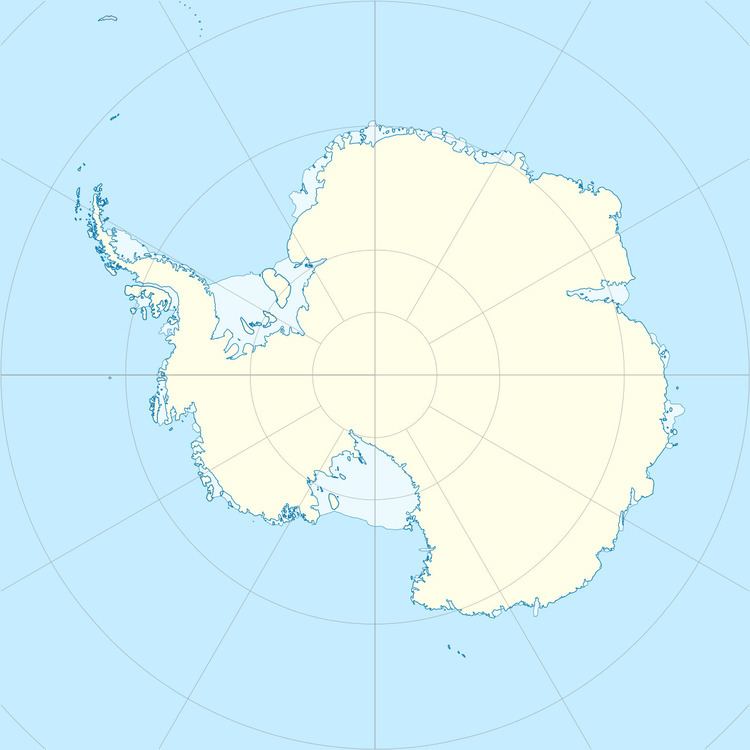 | ||
Nadezhdy Island is a bare rock island nearly 1.9 kilometres (1 nmi) long, lying just off the north-central side of Schirmacher Hills, Queen Maud Land. First photographed from the air by the German Antarctic Expedition, 1938-39. Mapped by the Soviet Antarctic Expedition in 1961 and named Ostrov Nadezhdy (hope island).
References
Nadezhdy Island Wikipedia(Text) CC BY-SA