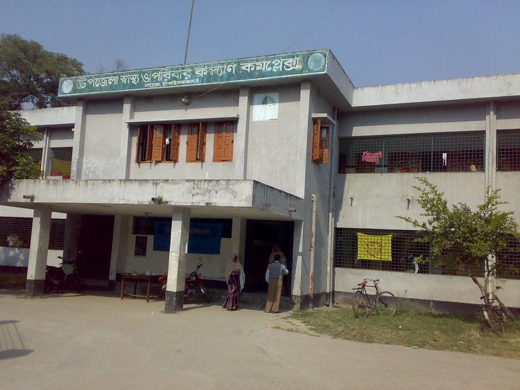
Website Official Website Population 146,627 (2011) | Time zone BST (UTC+6) Area 283.7 km² | |
 | ||
Nachole (Bengali: নাচোল) is an Upazila of Nawabganj District in the Division of Rajshahi, Bangladesh.
Contents
Map of Nachole, Bangladesh
Geography
Nachole is located at 24.7292°N 88.4194°E / 24.7292; 88.4194. It has 32922 households and total area 283.68 km².
Demographics
As of the 2011 Bangladesh census, Nachole has a population of 146,627. 72,895 of them are Males and 73,732 of them are female. Males constitute 49.71% of the population, and females 50.29%. This Upazila's eighteen up population is 89,267.
Education
Nachole Upazila has an average literacy rate of 45.5% (7+ years). It has 6 college (including 1 government college), 3 technical college, 34 secondary school, 77 primary school and 18 madrasa. Some notable educational institutions are Nachole Government College (1972), Nachole Mohila College (1993), Nachole Pilot High School (1957), Nachole KM Girls High School, Munsi Hazrat Ali High School, Golabari High School (1991) etc.
Administration
Nachole has a Municipality, 4 Unions, 201 Mauzas/Mahallas, and 190 villages.
Unions of Nachole:
