
Location Persian Gulf Total islands 1 Length 1.4 km (0.87 mi) Elevation 4 m Peak Mountain of Smoke | Adjacent bodies of water Persian Gulf Major islands Nabih Saleh Width 1.2 km (0.75 mi) Area 130 ha | |
 | ||
Adjacent body of water Persian Gulf (also known as Arabian Gulf) | ||
Bahrain nabih saleh mercenary forces hide revolutionary slogans 28 04 2012
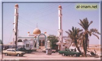
Nabih Saleh (Arabic: النبيه صالح) is an island of Bahrain in the Persian Gulf. It lies in the Tubli Bay, east of Bahrain Island, and has a distance of 2.5 km (1.6 mi) south of the capital, Manama, on Bahrain Island.
Contents
- Bahrain nabih saleh mercenary forces hide revolutionary slogans 28 04 2012
- Map of Nabih Saleh Bahrain
- History
- Demography
- Administration
- Transportation
- References
Map of Nabih Saleh, Bahrain
History
The island is named for the formerly separate islands of Nebbi and Saleh. Saleh was named for the Muslim scholar, Sheikh Saleh, who lived there in the 14th century. This island originally, like Sitra, was covered with farms and date palm groves, but now it suffers from mass deforestation. In 2016 renovation works began on the island
Demography
There are two villages located on the Island:
Administration
The island belongs to Northern Governorate .
Transportation
It is connected to both Bahrain Island and Sitra through the Sitra Causeway.
References
Nabih Saleh Wikipedia(Text) CC BY-SA