
Time zone BST (UTC+6) Area 439.6 km² | Postal code 3000 Local time Monday 2:07 AM | |
 | ||
Weather 21°C, Wind NE at 6 km/h, 71% Humidity | ||
Nabiganj upazila candidate mizanur rahman choudhur
Nabiganj (Bengali: নবীগঞ্জ) is an Upazila of Habiganj District in the Division of Sylhet, Bangladesh.
Contents
- Nabiganj upazila candidate mizanur rahman choudhur
- Map of Nabiganj Bangladesh
- Etymology
- Geography
- Demographics
- Administration
- References
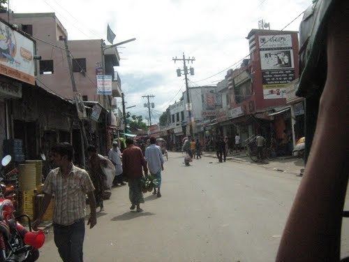
Map of Nabiganj, Bangladesh
Etymology
The name of the upazila, Nabiganj is derived from two words, Nabi and ganj, meaning "Prophetic neighbourhood". The reason why is unknown.
Geography
Nabiganj is located at 24.56701°N 91.51430°E / 24.56701; 91.51430 . It has 41358 households and total area 439.6 km².
Demographics
As of the 1991 Bangladesh census, Nabiganj has a population of 246933. Males constitute 50.27% of the population, and females 49.73%. This Upazila's eighteen up population is 126527. Nabiganj has an average literacy rate of 26.4% (7+ years), and the national average of 32.4% literate.
Administration
Nabiganj has 13 Unions/Wards, 220 Mauzas/Mahallas, and 359 villages. 1 pourosova
References
Nabiganj Upazila Wikipedia(Text) CC BY-SA