Country Thailand Time zone THA (UTC+7) Geocode 3906 Population 37,316 (2005) | Seat Na Lao Postal code 42170 Area 326.4 km² Province Nong Bua Lamphu Province | |
 | ||
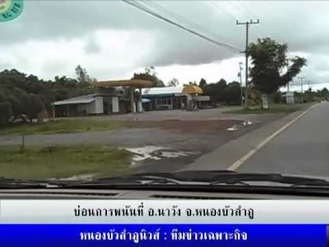
Na Wang (Thai: นาวัง; [nāː wāŋ]) is a district (Amphoe) in the western part of Nongbua Lamphu Province, northeastern Thailand.
Contents
Map of Na Wang District, Nong Bua Lam Phu, Thailand
Geography
Neighboring districts are (from the east clockwise) Na Klang, Si Bun Rueang of Nongbua Lamphu Province, Erawan and Na Duang of Loei Province.
History
The district was established on April 30, 1994, when five tambon were split off from Na Klang district. It was upgraded to a full district on October 11, 1997.
Administration
The district is subdivided into 5 subdistricts (tambon), which are further subdivided into 51 villages (muban). Na Lao is a township (thesaban tambon) which covers parts of the tambon Na Lao and Thep Khiri. There are further 5 Tambon administrative organizations (TAO).
References
Na Wang District Wikipedia(Text) CC BY-SA
