
Country Thailand Time zone THA (UTC+7) Geocode 3430 Population 34,735 (2005) | Seat Na Tan Postal code 34170 Area 191.9 km² Province Ubon Ratchathani Province | |
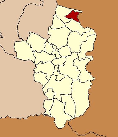 | ||
Na Tan (Thai: นาตาล) is a district (Amphoe) in the northeastern part of Ubon Ratchathani Province, northeastern Thailand.
Contents
Map of Na Tan District, Ubon Ratchathani, Thailand
History
Na Tan area was separated from Khemarat district to create a minor district (King Amphoe) on April 30, 1994.
Following a decision by the Thai government on May 15, 2007, all of the 81 minor districts were to be upgraded to full districts. With the publishing in the Royal Gazette on August 24 the upgrade became official.
Geography
Neighboring districts are (from the south clockwise) Pho Sai and Khemarat. To the east across the Mekong river is the Laotian province of Salavan.
The important water resource is the Mekong river.
Administration
The district is subdivided into 4 subdistricts (tambon), which are further subdivided into 64 villages (muban). There are no municipal (thesaban) areas, and four Tambon administrative organizations (TAO).