
Country Thailand Postal code 55180 Area 785.6 km² Province Nan Province | Time zone THA (UTC+7) Geocode 5510 Population 14,817 (2009) | |
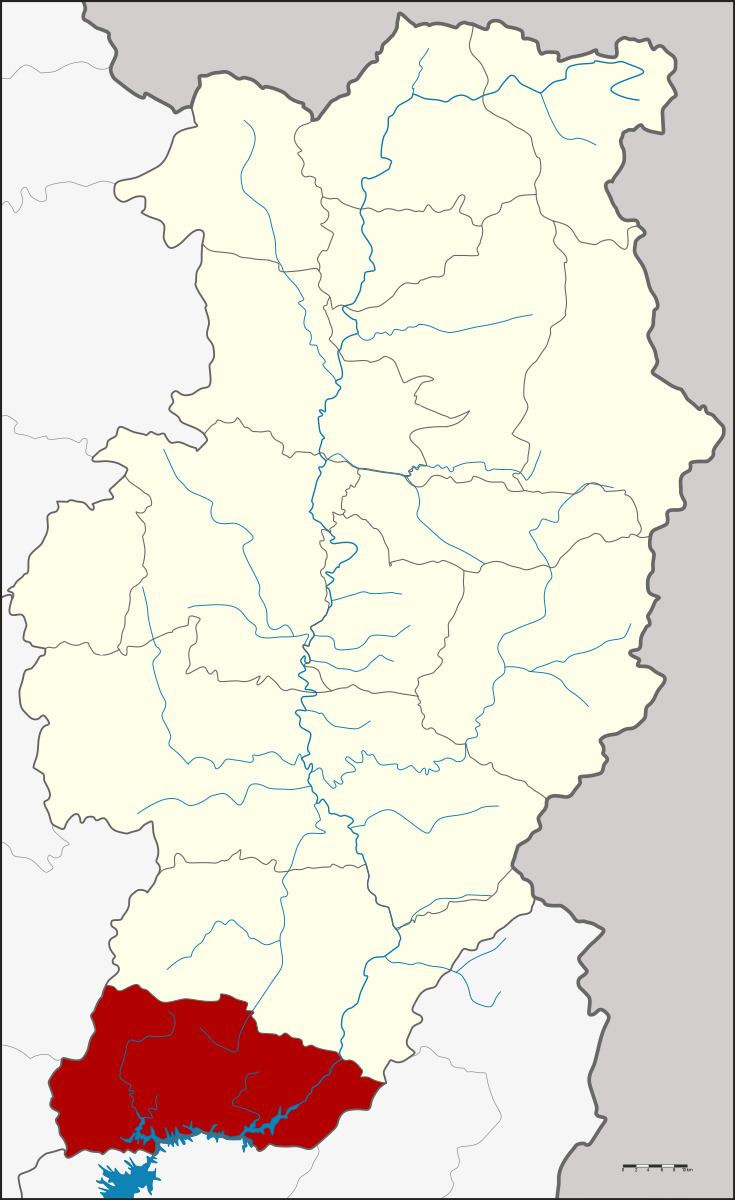 | ||
Na Muean (Thai: นาหมื่น, [nāː mɯ̀ːn]) is a district (Amphoe) in the southern part of Nan Province, northern Thailand.
Contents
Map of Na Muen District, Nan, Thailand
History
The minor district (King Amphoe) Na Muean was established on October 9, 1978 as a subordinate of Na Noi district, from which it was split off. Originally it consisted of the three tambon Na Thanung, Bo Kaeo and Mueang Li. It was upgraded to a full district on July 4, 1994.
Geography
Neighboring are from the north clockwise Na Noi of Nan Province, Ban Khok, Fak Tha, Nam Pat and Tha Pla of Uttaradit Province, Mueang Phrae and Rong Kwang of Phrae Province.
Administration
The district is subdivided into 4 subdistricts (tambon), which are further subdivided into 48 villages (muban). Bo Kaeo is the township (thesaban tambon) and covers the complete area of tambon Bo Kaeo. There are further 3 Tambon administrative organizations (TAO).