Country Thailand Time zone THA (UTC+7) Geocode 4410 Population 36,485 (2005) | Seat Na Dun Postal code 44180 Area 248.4 km² Province Maha Sarakham Province | |
 | ||
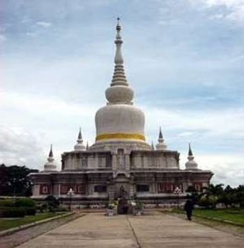
Points of interest Phra That Na Dun, Ban Isan Museum, Ku Santarat Bureau of, Ku Noi, Phra That Monthon Arboretu | ||
Na Dun (Thai: นาดูน) is a district (Amphoe) in the south of Maha Sarakham Province, northeastern Thailand.
Contents
Map of Na Dun District, Maha Sarakham, Thailand
Geography
Neighboring districts are (from the south clockwise) Phayakkhaphum Phisai, Yang Sisurat, Na Chueak and Wapi Pathum of Maha Sarakham Province, and Pathum Rat of Roi Et Province.
History
The area was made a minor district (King Amphoe) on October 1, 1969, when the three tambon Na Dun, Nong Phai and Nong Khu were split off from Wapi Pathum district. It was upgraded to a full district on March 25, 1979.
Administration
The district is subdivided into 9 subdistricts (tambon), which are further subdivided into 94 villages (muban). Na Dun is a township (thesaban tambon) which covers parts of the tambon Na Dun and Phra That. There are further 8 Tambon administrative organizations (TAO).
