
Country Thailand Time zone ICT (UTC+7) Geocode 4202 Population 25,232 (2005) | Seat Na Duang Postal code 42210 Area 590 km² Province Loei Province | |
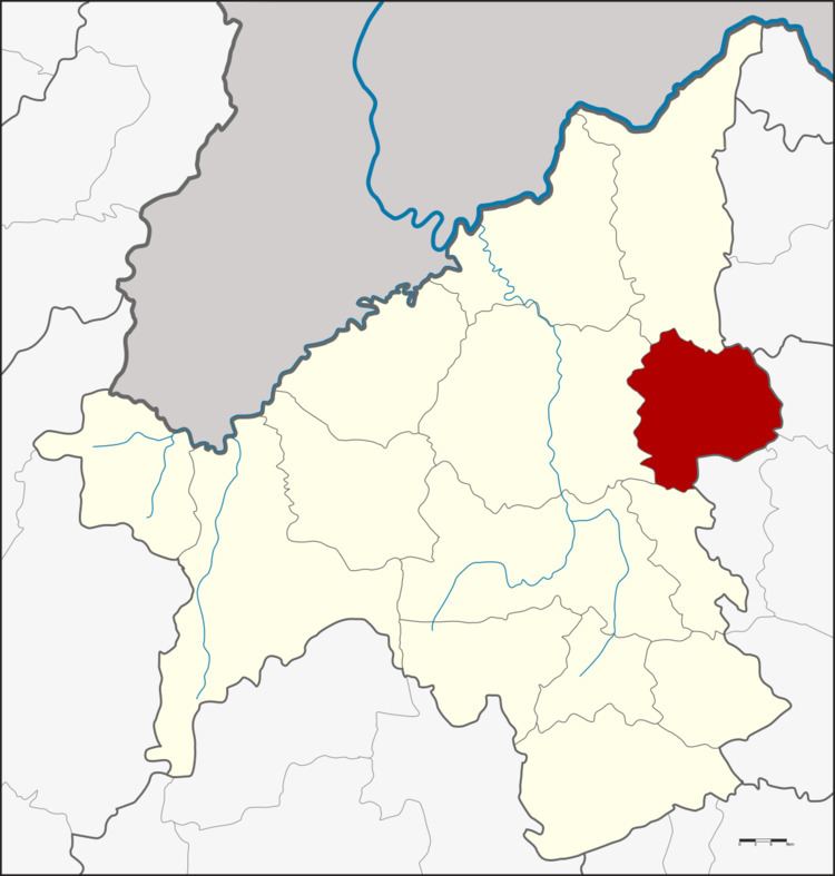 | ||
Na Duang (Thai: นาด้วง; [nāː dûaŋ]) is a district (amphoe) in the eastern part of Loei Province, northeastern Thailand.
Contents
Map of Na Duang District, Loei 42210, Thailand
History
The area of the district was originally Ban Na Duang of Udon Thani Province, a village named after the hunter Duang. He led people to establish a new village there in 1881. Later the village was assigned to be part of tambon Thung Pho, Mueang Loei District in 1945 and tambon Na Din Dam in 1967. In 1976 it was upgraded to a tambon. Together with three further tambon it formed the minor district (king amphoe) on 17 January 1977. It was upgraded to a full district on 19 July 1991.
Geography
Neighboring districts are (from the south clockwise) Erawan, Mueang Loei, Pak Chom of Loei Province, Nam Som of Udon Thani Province and Suwannakhuha, Na Klang and Na Wang of Nong Bua Lamphu Province.
Administration
The district is divided into four sub-districts (tambon), which are further subdivided into 41 villages (muban). Na Duang is a township (thesaban tambon) which covers parts of the tambon Na Duang. There are a further four tambon administrative organizations (TAO).