
Country Thailand Time zone THA (UTC+7) Geocode 8010 Population 26,428 (2005) | Seat Na Bon Postal code 80220 Area 192.9 km² | |
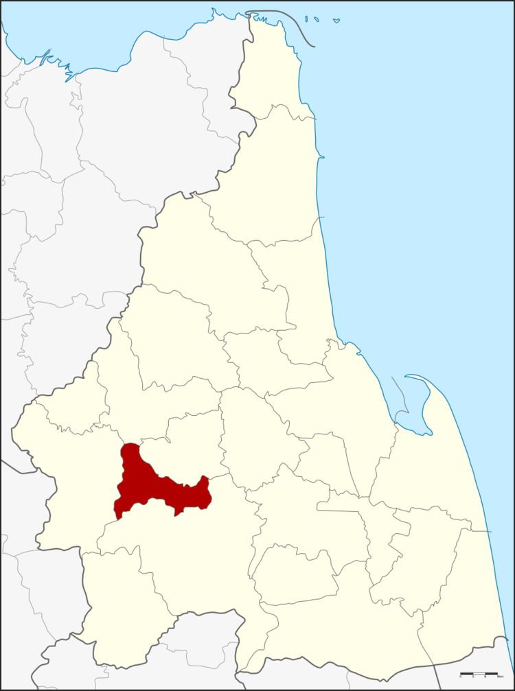 | ||
Province Nakhon Si Thammarat Province | ||
Na Bon (Thai: นาบอน) is a district (Amphoe) of Nakhon Si Thammarat Province, southern Thailand.
Contents
Map of Na Bon District, Nakhon Si Thammarat, Thailand
Geography
Neighboring districts are (from the north clockwise) Chawang, Chang Klang, Thung Song and Thung Yai.
Namtok Yong National Park is located at the boundary to Thung Song district, protecting forested hills of the Nakhon Si Thammarat mountain range and includes several beautiful waterfalls.
History
On June 9.5 1975.5 the two tambon Na Bon and Thung Song were split from Thung Song district and formed the new minor district (King Amphoe) Na Bon. July 13, 1981 it was upgraded to a full district.
Symbols
The slogan of the district is Khlong Chang waterfall, good breed of rubber, fertile land, join pit krit festival.
Administration
The district is subdivided into 3 subdistricts (tambon), which are further subdivided into 34 villages (muban). Na Bon is a township (thesaban tambon) which covers parts of tambon Na Bon. There are further 3 Tambon administrative organizations (TAO).