
COSPAR ID 2005-018A Mission duration 2 years Inclination 99.17° Period 1.7 hours Launch mass 1,457 kg | Operator NOAA SATCAT no. 28654 Spacecraft type TIROS-N Inclination 99.17° Launch mass 1,457 kg Launch date 20 May 2005 | |
 | ||
Similar NOAA‑19, NOAA‑15, NOAA‑17, NOAA‑16, Aqua | ||
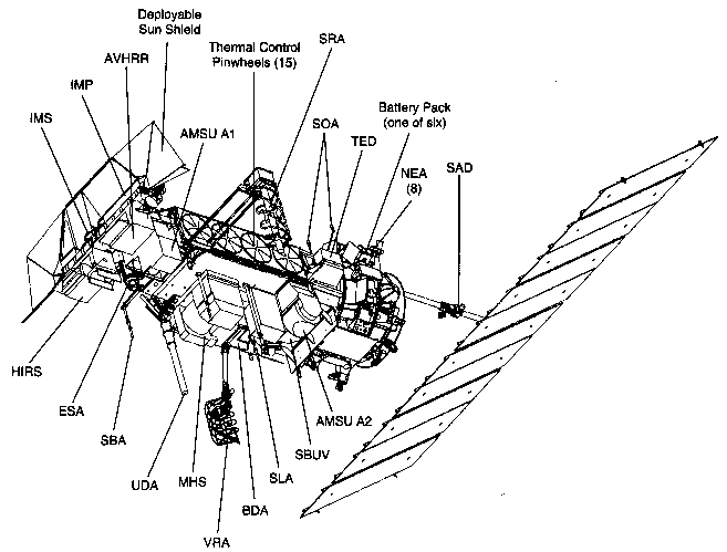
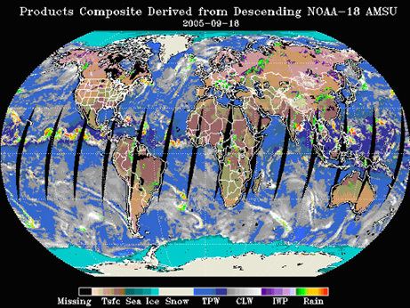
NOAA-18, known before launch as NOAA-N, is a weather forecasting satellite run by NOAA. NOAA-N (18) was launched on May 20, 2005, into a sun-synchronous orbit at an altitude of 854 km above the Earth, with an orbital period of 102 minutes. It hosts the AMSU-A, MHS, AVHRR and High Resolution Infrared Radiation Sounder (HIRS) instruments, as well as the SBUV/2 ozone-monitoring instrument. It is the first NOAA POES satellite to use MHS in place of AMSU-B.
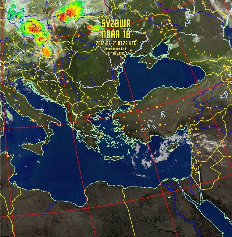
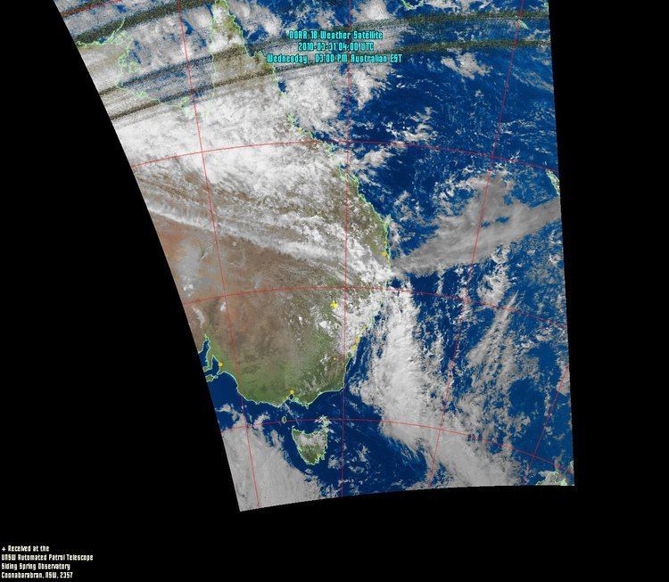
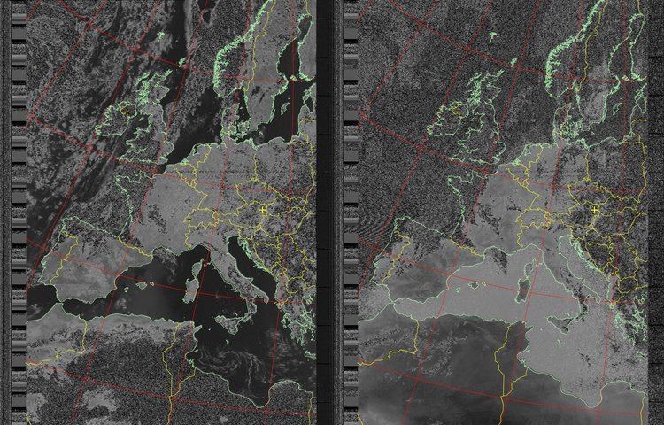
APT transmission frequency is 137.9125 MHz (NOAA-18 changed frequencies with NOAA-19 on June 23, 2009).
References
NOAA-18 Wikipedia(Text) CC BY-SA