
COSPAR ID 1998-030A Mission duration 2 years Inclination 98.77° Period 1.7 hours Launch mass 1,457 kg | Operator NOAA SATCAT no. 25338 Inclination 98.77° Launch mass 1,457 kg Launch date 13 May 1998 | |
 | ||
Similar NOAA‑18, NOAA‑19, NOAA‑17, NOAA‑16, NOAA‑7 | ||
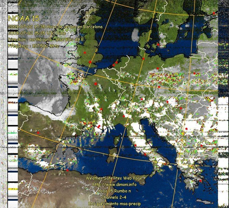
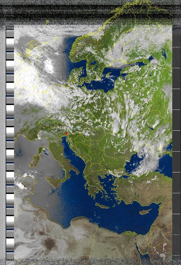
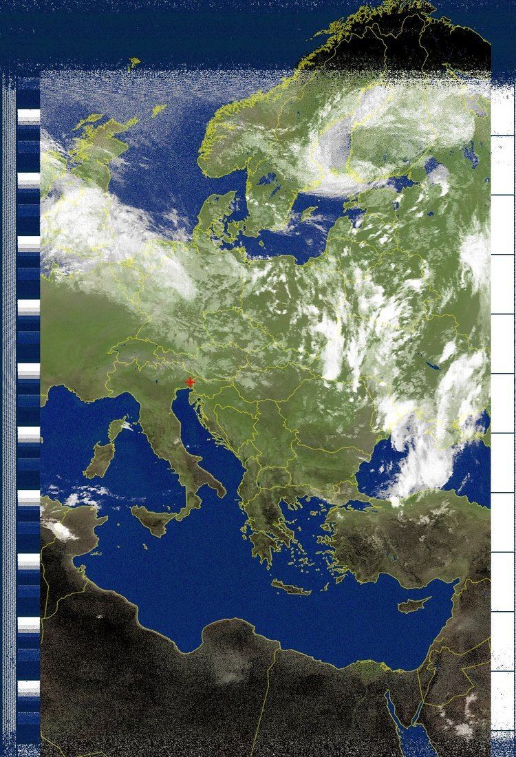
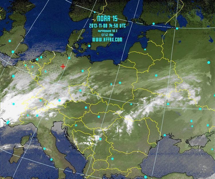
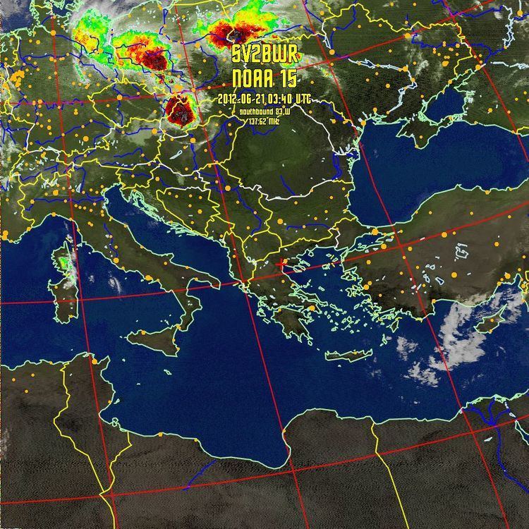
Receiving noaa 15 satellite imagery
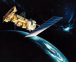
NOAA-15 (designated NOAA-K before launch) is one of the NASA-provided TIROS series of weather forecasting satellite run by NOAA. It was launched on 13 May 1998, and is currently operational, in a sun-synchronous orbit, 807 km above the Earth, orbiting every 101 minutes. It hosts the AMSU-A and AMSU-B instruments, the AVHRR and High Resolution Infrared Radiation Sounder (HIRS/3) instruments, as well as a Space Environment Monitor (SEM/2).
Contents
APT transmission frequency is 137.62 MHz. Due to problems with the S-band transmitter high-gain antennas, NOAA-15 has been configured for High Resolution Picture Transmission using the S-Band Transmitter #2 (1702.5 MHz) omnidirectional antenna.
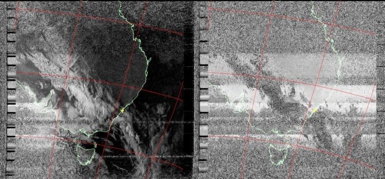
Noaa 15 apt weather satellite reception
References
NOAA-15 Wikipedia(Text) CC BY-SA