
Country United States GNIS feature ID 362657 | State Hawaii Elevation 85 ft (26 m) | |
 | ||
Time zone Hawaii-Aleutian (HAST) (UTC-10) Weather 21°C, Wind W at 11 km/h, 79% Humidity | ||
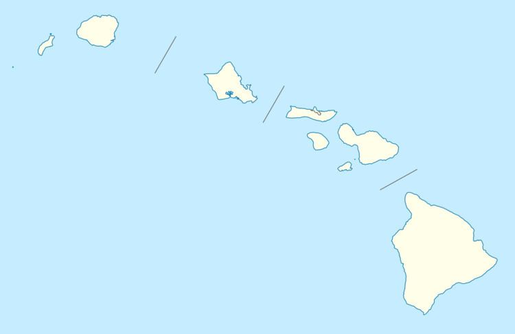
Nīnole (also spelled Hinole, Ninole, or Ninoli) is the name of two unincorporated communities on the island of Hawaiʻi in Hawaii County, Hawaii, United States. In the Hawaiian language Nīnole means "bending". Ninole also has the highest percentage of people of Italian descent in Hawaii.
Contents
Kaʻū
One Nīnole is in the Kaʻū District south of Route 11 (Hawaii Belt Road) adjacent to the south of Punaluʻu Beach. It was on Nīnole Cove, a small bay at the shore of what is now Sea Mountain Golf Course. The village was the birthplace of Henry ʻŌpūkahaʻia (1792–1818) who inspired the missionary movement that forever changed Hawaii. It was mostly destroyed by a tsunami after the 1868 Hawaii earthquake. Its elevation is 85 feet (26 m). Because the community has borne multiple names, the Board on Geographic Names officially designated it "Nīnole" in 2000.
Hāmākua
The other Nīnole is on the Hāmākua Coast north of Hilo along Route 19 (Māmalahoa Highway) south of Pāpaʻaloa and north of Hakalau. Although it is unincorporated, it has a post office, with the ZIP code of 96773. It is located at 19°56′17″N 155°10′4″W.