
Time zone EET (UTC+2) Local time Thursday 10:18 AM Area code 28310 | Vehicle registration ΡΕ Postal code 74100 | |
 | ||
Weather 14°C, Wind N at 13 km/h, 71% Humidity | ||
Myriokefala is a local community of the Rethymno Municipality in the Rethymno (regional unit) of the region of Crete established by Kallikratis reform. Previously, it was part of municipality of Lappa. Capital of the new municipality is Rethymno.
Contents
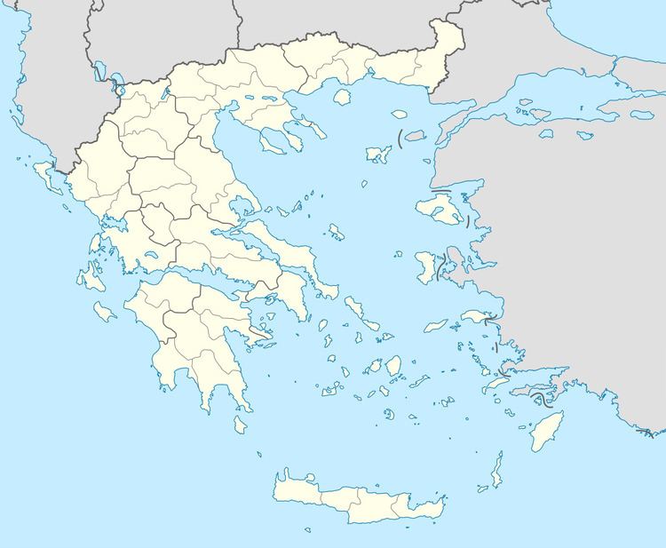
- Map of Myriokefala 740 55 Greece
- Geography origin of name history
- Attractions Monuments Temples important buildings
- Transportation
- References
Map of Myriokefala 740 55, Greece
Geography, origin of name, history
It is located 33 kilometers southwest of Rethymno, on the northwestern outskirts of the Kryoneritis mountain (height 1228 m) in an altitude of 500 meters with great view to the valley of Asi Gonia. Its name is due to the myriad (many) heads, i.e. hills, on which the village was built. Myriokefala is being occupied since the Venetian period.
Attractions: Monuments, Temples, important buildings
The Monastery of the Virgin, which dates back to the 10th century.
Transportation
There is bus service (KTEL) from/to Rethymno serving Myriokefala
References
Myriokefala Wikipedia(Text) CC BY-SA